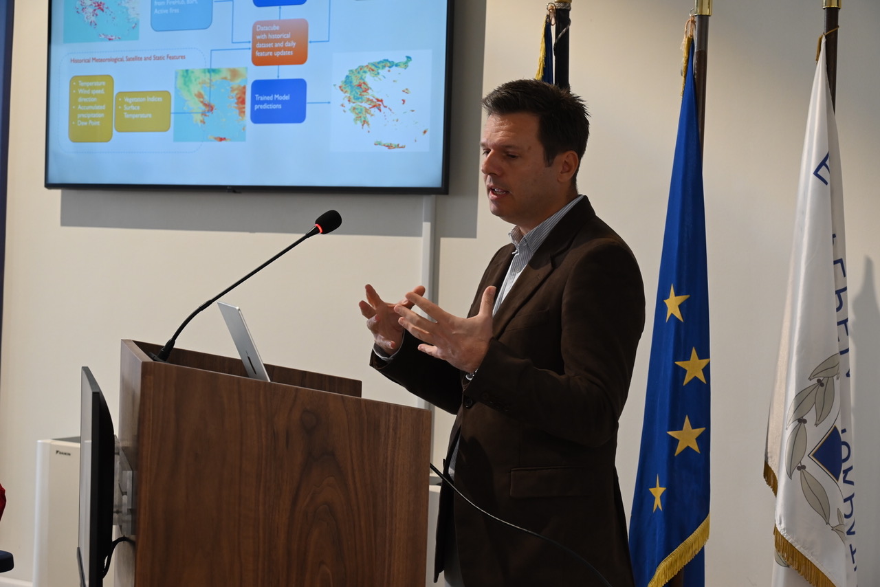
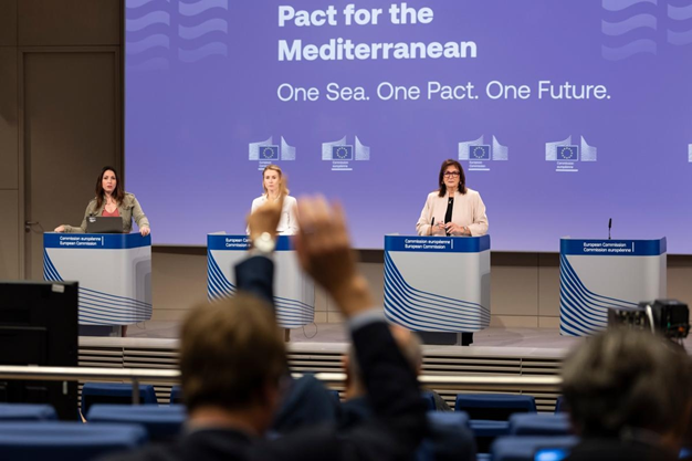
Untitled design(6).png


The Mediterranean region is facing an alarming rise in the frequency and severity of wildfires, threatening ecosystems, communities, and livelihoods. In response, BEYOND Centre of Earth Observation Research and Satellite Remote Sensing (BEYOND/NOA) is proud to coordinate the MedFireWise Project—a new, ambitious 36-month project under the Interreg NEXT MED programme aimed at advancing wildfire risk management across the Mediterranean basin.

Launched on June 18, 2025, and co-funded by the European Union, the MedFireWise Project promotes Nature-based Solutions (NbS)—namely prescribed burning and silvopasture—as sustainable and scientifically supported practices to mitigate wildfire risk and strengthen ecosystem resilience.

We're excited to announce that the successful collaboration between our team from NOA/BEYOND, NTUA, and IDCOM, under the supervision of JRC CEMS, has resulted in valuable scientific insights on post-wildfire vegetation recovery surveillance in Sierra Bermeja, Spain. State of vegetation and forest mass, erosion risk, landslide risk and road network accessibility mapping were assessed in order to monitor the recovery of the environment and to provide information on the risk to accommodate the use and services of the impacted territory.

2L8A9449.JPG

The Operational Unit “BEYOND Centre of Earth Observation Research and Satellite Remote Sensing” of the National Observatory of Athens (NOA), in collaboration with the PRAXI Network/FORTH, co-organised a two-day event in Tbilisi, Georgia, on July 8–9, 2025, with the support of the Georgian National Environmental Agency, in the framework of the European FPCUP programme (Caroline Herschel Framework Partnership Agreement on Copernicus User Uptake).

A workshop was held on July 8, followed by a hands-on session on July 9, to address the significant challenges posed by natural disasters in Georgia, while introducing the Copernicus services that support monitoring and provide critical information on floods and wildfires.

Σκοπός της ανάλυσης

Το υδροδοτικό σύστημα της Αττικής αντλεί νερό από τέσσερις βασικούς ταμιευτήρες: Μόρνος, Εύηνος, Υλίκη, και Μαραθώνας. Από αυτούς:

  • Ο Μόρνος είναι η κύρια πηγή ύδρευσης, εξυπηρετώντας τη μεγαλύτερη κατανάλωση.
  • Ο Εύηνος ενισχύει τον Μόρνο μέσω της σήραγγας Ευήνου-Μόρνου, λειτουργώντας ως μεταβατικός ταμιευτήρας.
  • Η Υλίκη (φυσική λίμνη) και ο Μαραθώνας λειτουργούν συμπληρωματικά στους δύο κύριους ταμιευτήρες.

Η υπηρεσία FloodHUB της Επιχειρησιακής Μονάδας BEYOND του ΙΑΑΔΕΤ/ΕΑΑ εκπόνησε διαχρονική αξιολόγηση των υδρολογικών και κλιματικών συνθηκών στους δύο βασικούς ταμιευτήρες που υποστηρίζουν το υδροδοτικό σύστημα της Αθήνας —τον Μόρνο και τον Εύηνο— ώστε να εκτιμηθεί ο βαθμός υδρολογικής πίεσης και ξηρασίας στο σύστημα για πρώτο εξάμηνο του 2025.

BEYOND/NOA proudly serves as Greece’s National Operations Center (GR-NOC SST) and as a key contributor to the European SST Partnership (EUSST).

From detecting and cataloguing space objects to supporting critical services like Collision Avoidance, Re-entry Analysis, and Fragmentation Monitoring, our mission is to safeguard the orbital environment and ensure the long-term sustainability of space activities.

Banner_SeminarioRegOMSA_1920x778.jpg

The journey of the Early Warning System for Mosquito-Borne Diseases (EYWA) was presented during the WOAH Regional Seminar on "Vector-Borne Diseases in the European Region," held from 25 to 27 June 2025 in Teramo, Italy.

The event was jointly organized by the World Organisation for Animal Health (WOAH), the Istituto Zooprofilattico Sperimentale dell’Abruzzo e del Molise “G. Caporale” (IZS Teramo), and supported by the European Commission's Directorate-General for Health and Food Safety (DG SANTE). It provided a critical platform for discussing the challenges and developments related to vector-borne diseases (VBDs) across Europe and neighboring regions.

IMG_1982.JPEG

BEYOND Centre of Excellence of ISAARS/NOA made a dynamic mark at this year’s Living Planet Symposium 2025, hosted by the European Space Agency (ESA) in Vienna, from the 23rd to the 27th of June. As one of the world’s premier Earth Observation (EO) forums, the event gathered leading scientists, institutions, and space stakeholders to share breakthroughs in environmental monitoring, Artificial Intelligence (AI), and satellite technologies.

Kicking off the Centre’s presence, Dr. Haris Kontoes, Research Director at IAASARS/NOA, presented groundbreaking work on Leveraging Earth Observation Data and Explainable AI for Predicting Mosquito-Borne Disease Outbreaks (Session B.03.06), underscoring the growing role of AI in public health surveillance.

Copy of Land use cover mapping in 4 critical Areas of Interest in Zambia.jpg


CEMS Activation: Forest fuel mapping and fire hazard in France


We're excited to announce that the successful collaboration between our team from NOA/BEYOND, NTUA, and IDCOM, under the supervision of JRC CEMS, has resulted in valuable scientific insights on forest fire risk assessment in northeastern France.

Structural vegetation layers relevant for fuel mapping were generated using LiDAR and aerial imagery, and fire hazard maps were produced by analyzing meteorological scenarios to assess wildfire risk.


Screenshot 2025-06-19 105144.png


BEYOND/NOA as a EURISY community partner is pleased to see FireHUB, its advanced wildfire management system, mentioned in the latest EURISY Annual Activity Report 2024–2025 as one of the three most visited member websites over the past year. Developed by BEYOND, FireHUB delivers real-time wildfire detection and smoke dispersion forecasts across Greece, Southern Europe, North Africa, Balkans, Black Sea and the Middle East—supporting civil protection and decision-making.


ℹ️Discover FireHUB services: http://beyond-eocenter.eu/index.php/web-services/firehub


geo 20 6 2025


An in-person meeting held on May 6, 2025, during the GEO Global Forum in Rome, brought together 27 participants from across the GEO Working Groups (WGs), other GEO Work Programme (GWP) activities, and the wider GEO community to discuss and flesh out details for a potential GEO joint Working Group activity on the Climate-Biodiversity-Disaster Risk Reduction (DRR) nexus under the post-2025 GWP enhancing linkage towards Earth intelligence.