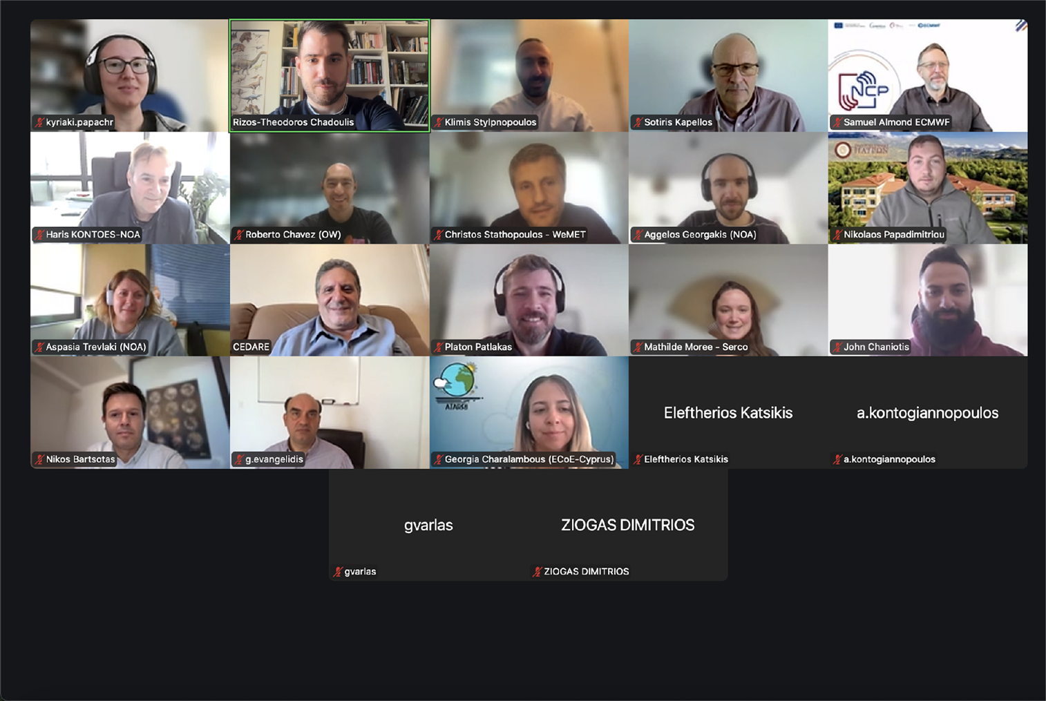
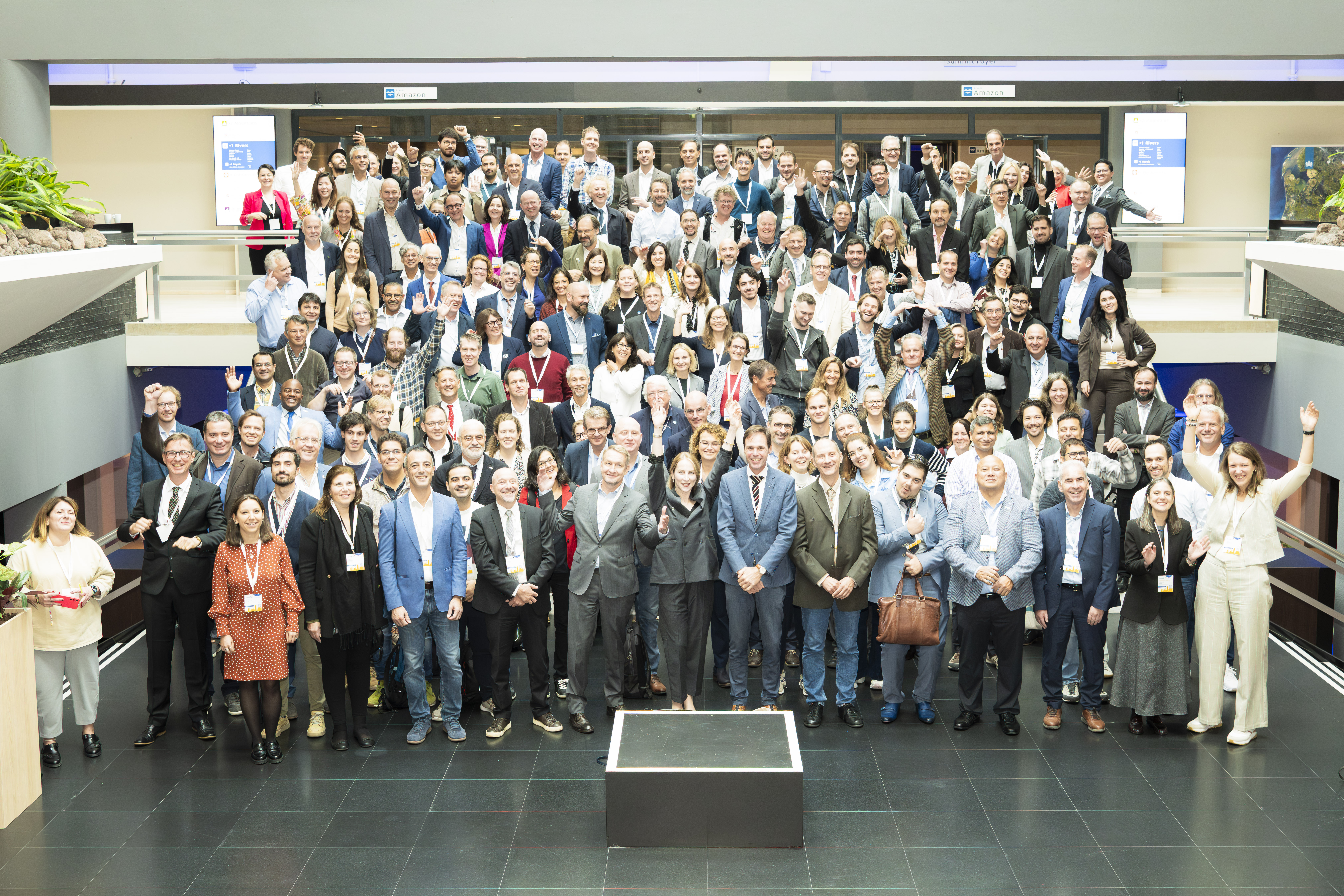
banner1 


BEYOND New Project on board: Introducing EuroGEO Secretariat.

Establishing the EuroGEO Secretariat to support the EuroGEO initiative.


After months of hard work, passion, and creative collaboration, we are beyond excited to introduce our new project: EuroGEOSec!

What is EuroGEOSec? It is not just a project; it's a manifestation of our commitment to innovation, growth, and pushing the boundaries of what's possible. It's the product of tireless dedication from our incredible team, fuelled by a shared vision of making a positive impact.

Project Focus

The EuroGEO Secretariat will be strengthening GEO-related coordination mechanisms at European and national levels. The focus will be on supporting increased innovation, space application development and the reinforcement of a space data ecosystem concept within Europe, whilst pursuing international cooperation to help stimulate the market and promote European technology and services. The EuroGEO secretariat will be contributing to the European Green Deal objectives by further deploying and exploiting the use of environmental observations and to a strengthened Global Earth Observation System of Systems (GEOSS).

Our Role

BEYOND/NOA leads the Task 2.2 Coordination support to EuroGEO's governance bodies and structures, which commits to identify and initiate the dialogue with the EuroGEO governance bodies (e.g. HLWG, Coordination Group, National GEOs) on the basis of their constitutional roles and responsibilities. Furthermore, BEYOND/NOA leads the Work Package 5 Communication and outreach, which overall aim is to ensure that the impact of EuroGEO will be maximized through an effective campaign of communication, dissemination and promotional activities.

BEYOND's Rocketship Team is ready to embark on this exciting new chapter and make EuroGEOSec a monumental success!

Identity: HORIZON-CL6-2023-GOVERNANCE-01

Funded by: European Commission

Discover more:  http://beyond-eocenter.eu/index.php/projects/projects-list/646-establishing-the-eurogeo-secretariat-to-support-the-eurogeo-initiativey


banner2

Blue Modern Congratulation Employee of the Month Instagram Post 

Ανακοινώθηκαν τα βραβεία του διαδικτυακού διαγωνισμού Appathon με τίτλο “Copernicus Innovative Solutions (Natural Disasters, Agriculture, Health)” που συνδιοργάνωσε η Επιχειρησιακή Μονάδα BEYOND του ΙΑΑΔΕΤ/ΕΑΑ σε συνεργασία με το Δίκτυο ΠΡΑΞΗ/ITE, στις 23-24/11/2023, στο πλαίσιο του ευρωπαϊκού προγράμματος FPCUP.

Οι ενδιαφερόμενοι κλήθηκαν να συμμετάσχουν στον διαγωνισμό με σκοπό να σχεδιάσουν λύσεις σε τρεις (3) θεματικές: Φυσικές Καταστροφές, Υγεία και Γεωργία χρησιμοποιώντας δωρεάν δορυφορικά δεδομένα από την πλατφόρμα CREODIAS (Copernicus DIAS - Copernicus Data and Information Access Service).

Την 1η θέση κέρδισε η ομάδα των κ.κ. Ιάσονα Ράπτη & Ιωάννη Πιτσιόρλα για την καινοτόμo πρότασή τους με τίτλο "AIRWATCH". 

To AIRWATCH φιλοδοξεί να στηρίξει την παρακολούθηση της ρύπανσης μέσω καθημερινών προβλέψεων για την ποιότητα του αέρα, κάνοντας χρήση δορυφορικών δεδομένων από την πλατφόρμα #CREODIAS (Copernicus DIAS - Copernicus Data and Information Access Service). Η προτεινομένη λύση αναμένεται να έχει αντίκτυπο στον τομέα της υγείας και της ποιότητας ζωής των κοινοτήτων.

Το βραβείο για την 2η θέση απονεμήθηκε στον κ. Φώτη Ζαπάντη, για την καινοτόμο πρόταση "LANDSLIDES". 

To LANDSLIDES πρόκειται να χαρτογραφήσει πιθανές κατολισθήσεις, κάνοντας χρήση δορυφορικών δεδομένων από την πλατφόρμα CREODIAS (Copernicus DIAS - Copernicus Data and Information Access Service). Η προτεινομένη λύση αναμένεται να έχει αντίκτυπο στον τομέα των Φυσικών Καταστροφών.

Το βραβείο για την 3η θέση απονεμήθηκε στον Δρ. Βασίλη Σταματόπουλο για την καινοτόμο πρόταση "INNOFY".

Το INNOFY θα επιδιώξει να αποτελέσει λύση για την Εξισορρόπηση των Διακυμάνσεων Τιμών Ελαιόλαδου, κάνοντας χρήση δορυφορικών δεδομένων από την πλατφόρμα #CREODIAS (Copernicus DIAS - Copernicus Data and Information Access Service). Η προτεινομένη λύση αναμένεται να έχει αντίκτυπο στον τομέα της γεωργίας.

Θερμά συγχαρητήρια σε όλους τους συμμετέχοντες καθώς και στους νικητές του Appathon!

Τα βραβεία των νικητών συνοδεύονται από χρηματικά έπαθλα αξίας 2000€ από την Επιχειρησιακή Μονάδα Beyond EO Centre NOA του ΙΑΑΔΕΤ/ΕΑΑ καθώς και από προσφερόμενες υπηρεσίες ‘Coaching for pitching to investors’ από το Δίκτυο ΠΡΑΞΗ PRAXI Network, στο πλαίσιο του ευρωπαϊκού έργου FPCUP.

#Copernicus #EUproject

2

GROUP 


On the 28th of November, Operational Unit “BEYOND Centre of Earth Observation Research and Satellite Remote Sensing” of the National Observatory of Athens, in collaboration with PRAXI Network/FORTH, the Higher School of Communication of Tunis (SUP’COM) and the IEEE-GRSS Tunisia Chapter organized the Capacity Building Workshop in Tunis, “EO and Copernicus data & Services, Soil Degradation and Water Resources”.

Stakeholders from public and private entities, Universities and Local Authorities, along with BEYOND’s representatives, Mrs Marietta Papakonstantinou (Project Manager in FPCUP program) and Dr. Nikos Stathopoulos (Project Manager in Soil Projects), presented the current status on Soil Degradation and Water Resources, identified the needs and gaps and set up the basis for future collaboration. 

The event aimed at the EO Capacity building in Tunisia, underlining the importance of sharing experiences and exchanging good practices for a fruitful cross border collaboration in the framework of the Copernicus User Uptake Activities.

More info: https://www.copernicus-user-uptake.eu/events/events-details/fpcup-capacity-building-workshop-in-tunisia-eo-and-copernicus-data-services-604


greece japan flood Mitigation on line workshop 2023 


On October 27, 2023, “Greece - Japan Flood Mitigation Online Workshop” was co-organized by the National Research Institute for Earth Science and Disaster Resilience (NIED) of Japan and the Government of Greece to reflect back on the severe flooding events that occurred in central Greece this September and for the Japanese experts to share how flood management and mitigation measures are implemented in Japan.

The workshop began with welcoming remarks by Prof. Kaoru Takara, President of NIED who sent his condolences to the affected people in Greece and emphasized the importance of cross-sectoral collaboration among government, research institutes and private sector; giving an example of the Japan Hub of Disaster Resilience Partners (JHoP) in which NIED serves as the secretariat.

The welcoming remarks was followed by presentations from Greek representatives that gave a briefing on the post-flood situation and the water and flood management in Greece.

In particular, Alexia Tsouni, Research Associate of the Operational Unit BEYOND EO Centre of IAASARS, NOA participated in the Workshop focusing on the one hand to the operational FloodHub service providing flood early warning and monitoring, and on the other hand to the multi-parameter high-resolution flood risk assessment in the Region of Attica. She highlighted the cooperation of BEYOND EO Centre with the Regional and Municipal Authorities, the Fire Service, the Civil Protection Associations, as well as the capacity building and the support provided by BEYOND EO Centre for the implementation of civil protection exercises and educational activities.

The workshop continued with presentations from Japanese experts from the Ministry of Land, Infrastructure, Transport and Tourism (MLIT), the International Centre for Water Hazard and Risk Management (ICHARM) and NIED on flood management policy in Japan, research on flood hazard risk analysis, landslide/debris flow management, and disaster information management.

Towards the end of the workshop, a Q&A session was held, followed by active discussions on various ways on how flood modeling, early warning and coordination can further be improved. In addition, future steps to identify areas of possible medium and long term collaborations were suggested from both sides.

The workshop attracted a total of about 60 people from Greece and Japan, including two ministers, deputy ministers, other high-level officials from line agencies and representatives from academia. Japanese Ambassador to Greece also attended the workshop and provided the opening message.


More info: https://www.bosai.go.jp/e/news/2023/20231106.html


Untitled design


Νέα! ημερομηνία διεξαγωγής: 23-24/11/2023

Νέα! προθεσμία δήλωσης συμμετοχής: 20/11/2023

Με ιδιαίτερη χαρά σας ενημερώνουμε ότι η Επιχειρησιακή Μονάδα BEYOND του ΙΑΑΔΕΤ/ΕΑΑ σε συνεργασία με το Δίκτυο ΠΡΑΞΗ/ITE συνδιοργανώνουν διαδικτυακό Appathon, με τίτλο "Copernicus Innovative Solutions (Natural Disasters, Agriculture, Health)", με νέα ημερομηνία διεξαγωγής 23-24/11/2023, στο πλαίσιο του ευρωπαϊκού προγράμματος FPCUP.

Η θεματολογία του Appathon επικεντρώνεται σε τρεις (3) Θεματικές: Φυσικές Καταστροφές, Υγεία και Γεωργία. Οι ενδιαφερόμενοι καλούνται να συμμετέχουν προκειμένου να σχεδιάσουν λύσεις με χρήση δορυφορικών δεδομένων από την πλατφόρμα CREODIAS (Copernicus DIAS - Copernicus Data and Information Access Service), η οποία θα τους παρέχεται δωρεάν.

Η συμμετοχή στο Appathon είναι δωρεάν και θα απονεμηθούν τρία (3) χρηματικά βραβεία (ένα για κάθε Θεματική) αξίας 2000 ευρώ, έκαστο. Επιπλέον, οι 3 νικητές θα επωφεληθούν από προσφερόμενες υπηρεσίες ‘Coaching for pitching to investors’!

Νέα! Προθεσμία δηλώσεων συμμετοχής έως και την Δευτέρα, 20 Νοεμβρίου, στις 17:00 (CET), 18:00 (Ώρα Ελλάδος)

Για περισσότερες πληροφορίες και Δηλώσεις συμμετοχής παρακαλούμε επισκεφθείτε την ιστοσελίδα του Appathon: http://beyond-eocenter.eu/fpcup-appathon/


capacity building workshop tunisia


An event that aims at the EO Capacity building in Tunisia, is being organized by the Operational Unit “BEYOND Centre of Earth Observation Research and Satellite Remote Sensing” of the National Observatory of Athens, in collaboration with PRAXI Network/FORTH, in Tunis on November 28, 2023, at 09:00-16:00 Tunisia time.

The event is being organized with the support of the Higher School of Communication of Tunis (SUP’COM) and the IEEE-GRSS Tunisia Chapter. EO is a valuable tool for monitoring different facets of sustainable development, such as agriculture and food productivity, water management, air quality, clean energy and climate change. Specifically, during the event the Thematics of Soil Degradation and Water Resources will be introduced to relevant stakeholders in Tunisia, enhancing their knowledge acquired on the existing capacities, skills and needs. The event will be hybrid.

For online participation registration is required and physical presence is possible on personal invitation. Stay tuned!

The event is being organized in the framework of the FPCUP (Caroline Herschel Framework Partnership Agreement) Project.

Read the full agenda here  


unnamed

The Operational Unit BEYOND Center (http://www.beyond-eocenter.eu/) for Earth Observation Research and Satellite Remote Sensing of the Institute of Astronomy and Astrophysics, Space Applications and Remote Sensing of the National Observatory of Athens is seeking to hire a highly skilled and motivated Senior Expert on Energy Sector to join our team, contributing to implementation of the  Destination Earth DESP Use Case “Destination Renewable Energy”.

seismic interferogram

Δορυφορική συμβολομετρική απεικόνιση του πεδίου εδαφικής παραμόρφωσης από τον σεισμό στo Νότιο Ιράν (Μ5.8, 17-10-2023, 04:59:23 UTC).

Εδαφική παραμόρφωση από τον σεισμό Μ5.8, στο Νότιο Ιράν στις 17 Οκτωβρίου 2023, 04:59:23 UTC, καταγράφηκε από την υπηρεσία geObservatory της Επιχειρησιακής μονάδας «Κέντρο Επιστημών Παρατήρησης της Γης και Δορυφορικής Τηλεπισκόπησης BEYOND» του ΙΑΑΔΕΤ/ΕΑΑ Εθνικού Αστεροσκοπείου Αθηνών. Συμβολογράφημα καθοδικής τροχιάς του δορυφόρου Sentinel-1, δημιουργήθηκε με χρήση εικόνων από τις 6 Οκτωβρίου 2023 και 18 Οκτωβρίου 2023. Στο συμβολογράφημα κάθε κροσσός συμβολής αντιστοιχεί σε εδαφική παραμόρφωση ίση με 2.8 εκ. Όλα τα διαφορικά συμβολογράμματα που σχετίζονται με τον σεισμό, είναι διαθέσιμα στην ιστοσελίδα του geΟbsevatory (http://geobservatory.beyond-eocenter.eu/).


First co-seismic interferogram of Southern Iran earthquake (Μ5.8, 17-10-2023, 04:59:23 UTC).

Co-seismic deformation from Μ5.8 Southern Iran earthquake in October 17, 2023, 04:59:23 UTC, was mapped by the geObservatory service of the Operational Unit BEYOND Center of Earth Observation Research and Satellite Remote Sensing of the National Observatory of Athens. Co-seismic interferogram of descending satellite pass no.166 of Sentinel-1, was produced with the use of two images of October 6, 2023 and October 18, 2023. In the produced interferogram, each fringe corresponds to a ground deformation equal to 2.8 cm. All co-seismic and pre-seismic interferograms, associated with the event are freely available in the geObsevatory website (http://geobservatory.beyond-eocenter.eu/).

Beige Minimalist Mood Photo Collage


Our Research Associate, Iason Tsardanidis, passionately involved in finding solutions for global problems, participated in an international two - day hackathon at the NASA Space Apps Challenge in Thessaloniki. Making a positive impact, he had the privilege of mentoring and guiding aspiring young students in a task centered on "Monitoring with Earth Observation data and Machine Learning techniques" with a special focus on promoting Sustainable Agriculture Practices.

More info here