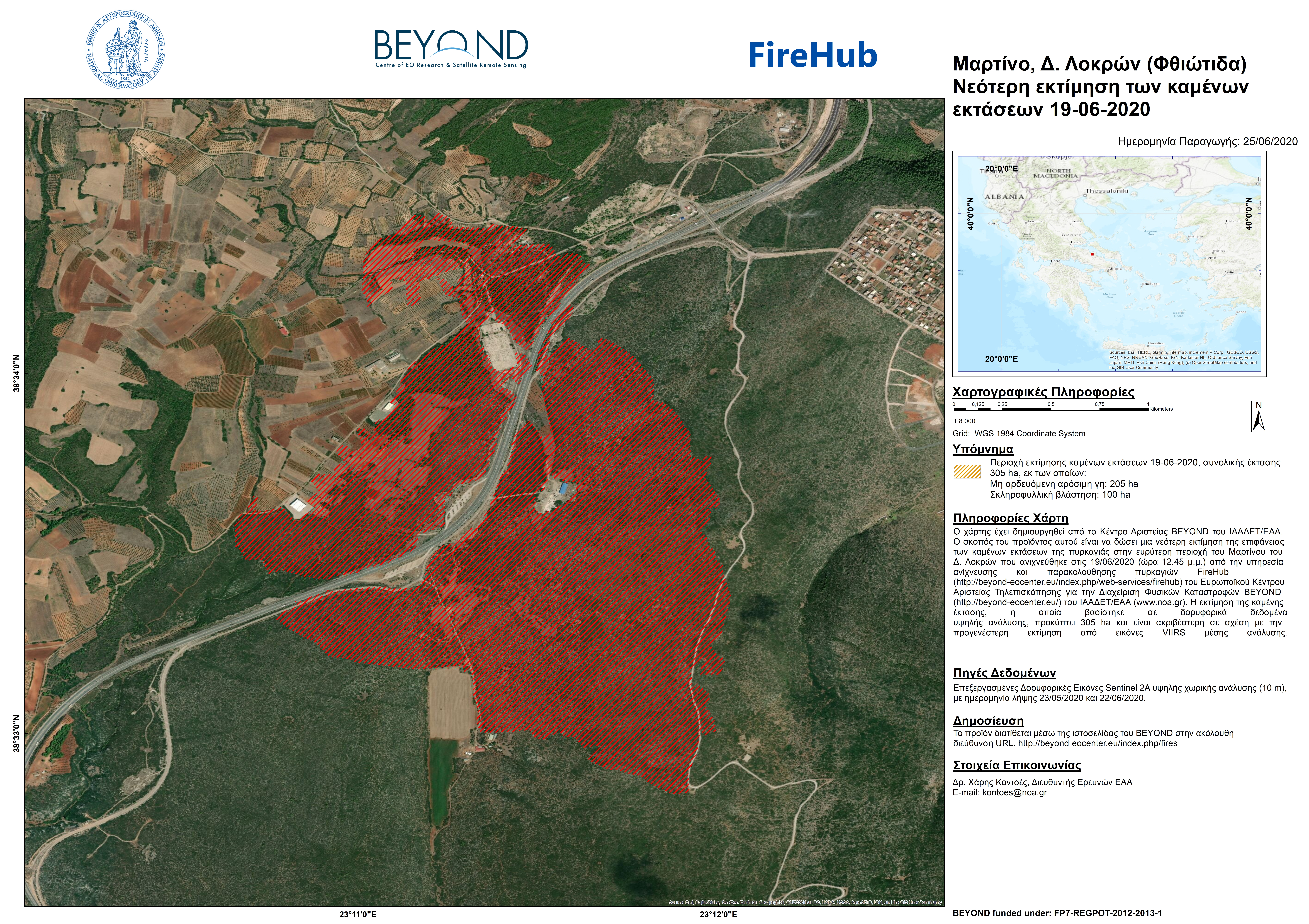
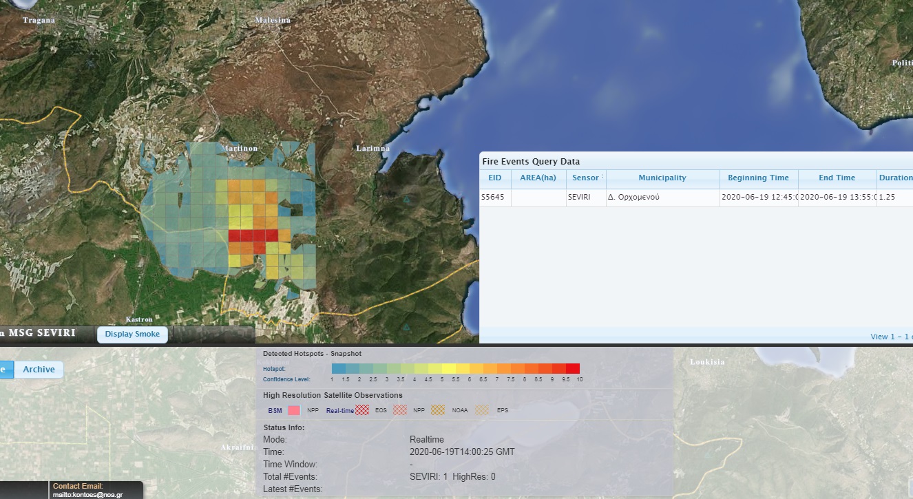
The following map depicts the burned areas in the greater area of Martino (Mun. of Lokroi, Phthiotis) as formed by the fire of June 19,
2020 which was detected by the FireHub service on the same date at 12.45 p.m. The burned areas are estimated at about 305 ha, based on the 10 meters high-resolution images of the satellite Sentinel 2A available on May 23, 2020 and June 22, 2020, of which Non-irrigated arable land and Sclerophyllous vegetation are estimated at 205 ha and 100 ha correspondingly.

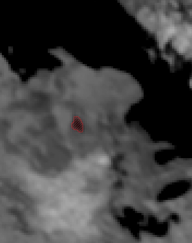
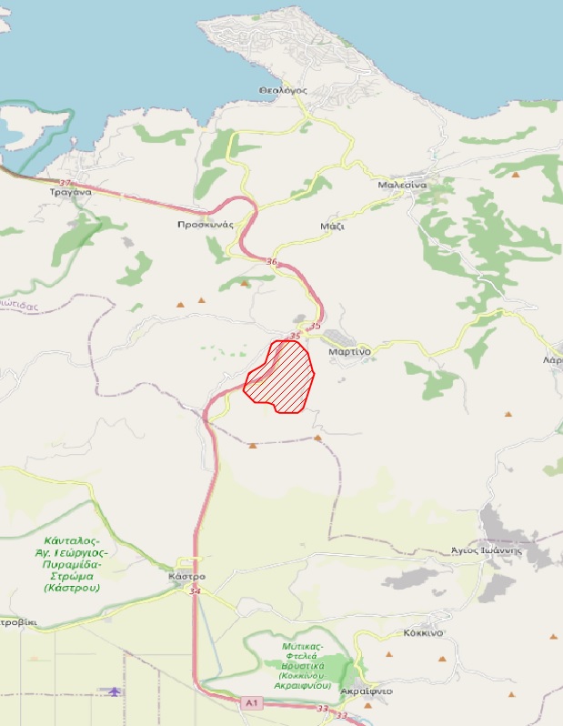
Πρώτη εκτίμηση - First estimation
350 εκτ. η πρώτη εκτίμηση χαμηλής ανάλυσης της καμένης έκτασης στo Μαρτίνο Φθιώτιδος μετά την επεξεργασία εικόνας χαμηλής ανάλυσης (375 m) του οργάνου VIIRS του δορυφόρου Suomi ΝPP. Ακριβέστερη εκτίμηση αναμένουμε αργότερα από εικόνα Sentinel2.
The preliminary burn scar in Martino, Ftiotis from the medium resolution VIIRS satellite image (375m), depicts the first estimation record (350 ha). A more detailed map will be provided by Sentinel-2.


