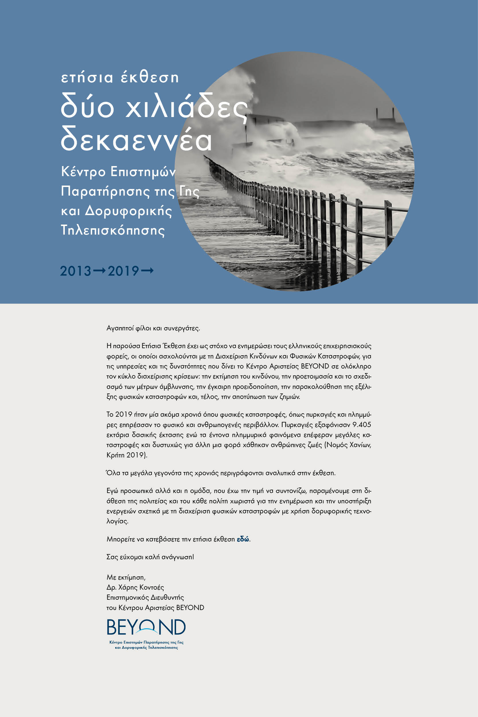
BEYOND at UNSPIDER Technical Meeting
- Details
UN-SPIDER was conducting a Technical Advisory Mission to Tunisia from 4 to 6 March 2020 with main goal to identify the needs of the country to fully take advantage of space-based information for disaster management.
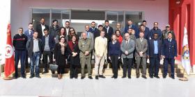
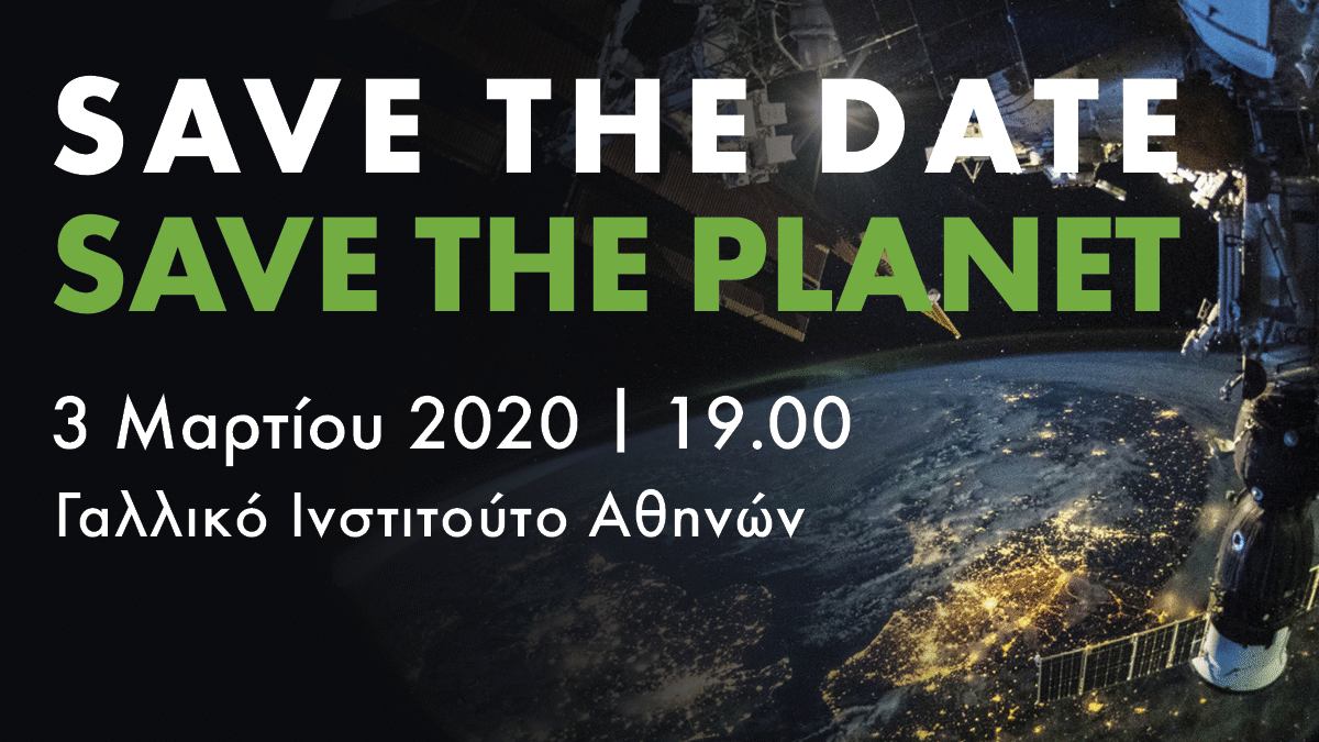
Εκδήλωση στο Γαλλικό Ινστιτούτο Αθηνών
- Details
Με μεγάλη επιτυχία πραγματοποιηθήκε η εκδήλωση "Οι επιπτώσεις της κλιματικής αλλαγής: η διαστημική καινοτομία στην υπηρεσία του πολίτη", την Τρίτη 3 Μαρτίου 2020 στο Γαλλικό Ινστιτούτο.
Να προετοιμαστούμε για τις φυσικές καταστροφές
- Details

Συνέντευξη του καθηγητή Χρήστου Ζερεφού και του Δρ. Χάρη Κοντοέ στο Νίκο Ευσταθίου για τη σοβαρότητα της κλιματικής αλλαγής και τα εργαλεία που έχουμε στα χέρια μας για καλύτερη πρόληψη και λήψη αποφάσεων.
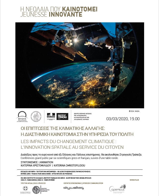
3ο Επιστημονικό Forum για τις καταστροφές στην Ελλάδα
- Details
Το Κέντρο Αριστείας BEYOND συμμετέχει στο 3ο Διεπιστημονικό Forum για τη μείωση της διακινδύνευσης από καταστροφές στην Ελλάδα. To Forum θα πραγματοποιηθεί στην Αθήνα 5 και 6 Μαρτίου 2020.
Άρθρο στην εφημερίδα Καθημερινή
- Details

"Η αγωνιώδης τέχνη για την κλιματική αλλαγή και η γεφύρωση της κοινής γνώμης με την έρευνα" αναλύονται από τον Νίκο Ευσταθίου δημοσιογράφο της Καθημερινής στο παρακάτω άρθρο.
Μια μικρή γεύση από μια ωραία προσέγγιση για τη σχέση τέχνης και επιστήμης!
Σεμινάριο στο ΔΠΜΣ Φυσικοί Κίνδυνοι και Αντιμετώπιση Καταστροφών
- Details
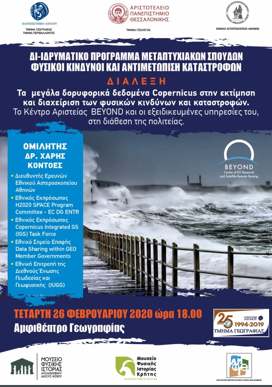
Σεμινάριο στο ΔΠΜΣ Φυσικοί Κίνδυνοι και Αντιμετώπιση Καταστροφών
Εκδήλωση με θέμα "ΟΙ ΕΠΙΠΤΩΣΕΙΣ ΤΗΣ ΚΛΙΜΑΤΙΚΗΣ ΑΛΛΑΓΗΣ: Η ΔΙΑΣΤΗΜΙΚΗ ΚΑΙΝΟΤΟΜΙΑ ΣΤΗΝ ΥΠΗΡΕΣΙΑ ΤΟΥ ΠΟΛΙΤΗ"
- Details
Εκδήλωση με θέμα "ΟΙ ΕΠΙΠΤΩΣΕΙΣ ΤΗΣ ΚΛΙΜΑΤΙΚΗΣ ΑΛΛΑΓΗΣ: Η ΔΙΑΣΤΗΜΙΚΗ ΚΑΙΝΟΤΟΜΙΑ ΣΤΗΝ ΥΠΗΡΕΣΙΑ ΤΟΥ ΠΟΛΙΤΗ"
We are hiring! 6 νέες θέσεις εργασίας!
- Details

ΠΡΟΣΚΛΗΣΗ ΕΚΔΗΛΩΣΗΣ ΕΝΔΙΑΦΕΡΟΝΤΟΣ
Προκηρύσσονται έξι (6) θέσεις εξωτερικών συνεργατών στο Εθνικό Αστεροσκοπείο Αθηνών για τις ανάγκες του Κέντρου BEYOND.
FIRE sets out to shape the future of Earth Observation solutions for Europe’s industry
- Details
![]()
The European Association for Remote Sensing Companies (EARSC) is leading a project in response to a call from the European Commission to develop a strategic roadmap for the Earth Observation sector.