Smarter decisions about real-world problems start with better data – and Earth observation can provide just that, thanks to European efforts to open up access to massive amounts of satellite data collected every day.
By Gareth Willmer
Imagine using space technology not just to explore the stars, but to stop a disease outbreak before it starts, or predict and monitor natural disasters such as floods.
That is exactly what European researchers are doing with Earth observation (EO) – turning satellite data into real-world solutions that protect people and the planet.
Mosquito monitor
Since 2020, a pioneering service called the Early Warning System for Mosquito-Borne Diseases (EYWA) has been tracking mosquito breeding grounds using high-resolution satellite images. Why? Because as climate change spreads mosquito-borne diseases, advance information can save lives.
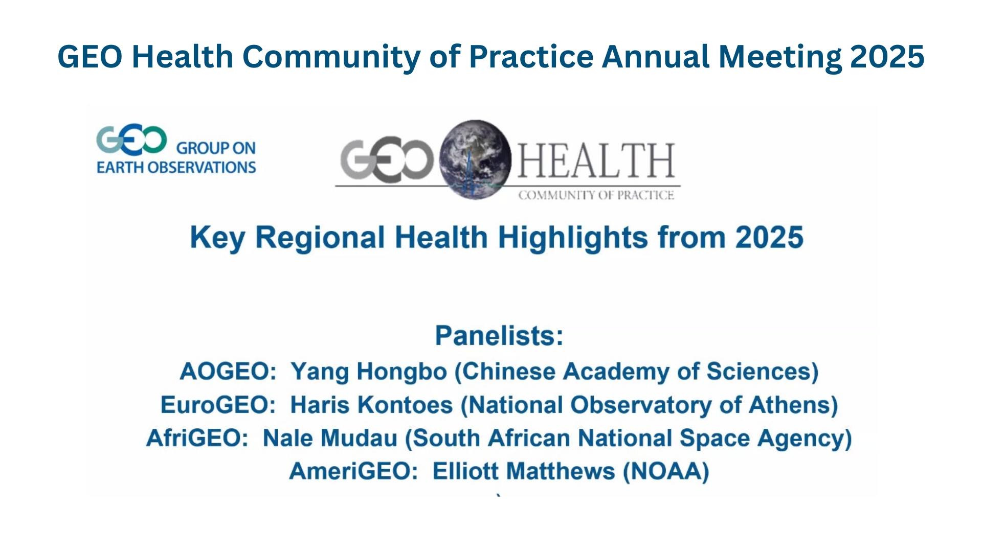
According to Dr Haris Kontoes, research director at the Institute for Astronomy, Astrophysics, Space Applications and Remote Sensing of the National Observatory of Athens in Greece, this is a good example of how EO data can be put to use.
“Users of Earth observation want to see that what they are doing is sustainable.
“It was always a big problem considering that millions of people are affected worldwide, but in the last 10 years these diseases have been increasingly transmitted in Europe, even northern European countries,” said Kontoes, the coordinator of EYWA.
EYWA’s data-driven system helps local authorities act fast – targeting breeding sites before mosquitoes multiply. The results? In some areas, mosquito populations have been cut in half. Today, EYWA protects around 30 million people, from farmers in Greece to residents in Cameroon.
Behind this success is a multidisciplinary global team led by the National Observatory of Athens, working with partners in EO, health, climate modelling and data analytics.
Earth observation data for everyday problems
EYWA is just one success story from a wider movement supporting the use of EO data for practical benefit.
The European Group on Earth Observations (EuroGEO), Europe’s contribution to the global GEO alliance, brings together governments, researchers and businesses to harness satellite data in practical ways for a range of uses, including disaster response, agriculture, health and climate resilience.
For example, EuroGEO’s rapid flood monitoring service helped communities in Central Europe manage devastating floods in 2024. And there is more to come. The value of the EO data market is expected to nearly triple by 2030, but much of this beneficial data is still underused.
From pilots to permanent solutions
EYWA was involved as one of the case studies in the EU-funded e-shape project, which tested 37 different applications across Europe and beyond. From tracking air pollution to predicting water conditions for divers, these pilots showed what is possible when scientists and end users design tools together.
But scaling up is the challenge. “Sustainability depends on securing funding and meeting real needs,” said Kontoes. “That attracts further investment, including from the private sector.”
EYWA has already attracted support from the EU, the Hellenic Foundation for Research and Innovation, the Bill & Melinda Gates Foundation, and the Horizon Prize on Early Warning for Epidemics. But the goal is to make such services permanent.
“Users of EO want to see that what they are doing is sustainable,” said Kontoes.
The power of co-design
EuroGEO promotes “co-design” – creating tools hand-in-hand with those who actually use them.
“It’s about talking with the users, engaging them, and building cooperation,” said Professor Thierry Ranchin, director at the Centre for Observation, Impacts, Energy at Mines Paris - PSL, who led the e-shape initiative.
“There will be an explosion of Earth observation data in the coming years.
This approach is shaping the next phase of EuroGEO, which includes the creation of a strong, permanent governance structure under a EuroGEO Secretariat (EuroGEOSec). Unlike previous actions, this is not about starting new pilots. It is about connecting existing ones, making them sustainable, and breaking down silos between data, programmes and people.
This movement toward greater integration and collaboration is encapsulated in the #OneEuroGEO approach, which reflects Europe’s ambition to build a truly connected EO ecosystem.
It works through EuroGEO Action Groups – specialist teams tackling issues in areas including disaster resilience and health, agriculture, energy and more. These groups do not just share data, they combine tools, models and expertise, deploy cloud infrastructure, open access to IoT networks, and even deliver training for local users.
Making data work for people
A key aim is to close the gap between those who collect satellite data and those who need it. The EuroGEO team hopes this will make it simpler for local officials and national agencies to take advantage of satellite insights, such as for disease control and climate response.
Right now, more than 100 terabytes of EO data pour in every day from programmes like Copernicus and Destination Earth. But too often, local authorities and frontline workers cannot access or use it. EuroGEOSec aims to fix this so that a health official in Portugal can use the same satellite insights as a national agency in Brussels.
“There’s fragmentation today in the EU landscape,” said Ranchin. “We are working to reduce it, but it demands a lot of coordination.”
In 2025, EuroGEOSec plans to deliver a roadmap that makes EO data easier to access and apply for the likes of ministries and municipalities, and even individual citizens.
“There will be an explosion of EO data in the coming years,” said Ranchin. “The question now is, how can we make sure that it can be put to good use in as many areas as possible?”
From space-based mosquito control to real-time flood alerts, the answer is clear: what is captured in orbit can help change life on Earth for the better.
Research in this article was funded by the EU’s Horizon Programme. The views of the interviewees don’t necessarily reflect those of the European Commission. If you liked this article, please consider sharing it on social media.
Watch the video: https://www.youtube.com/watch?v=l2_rWoRXdUo
Useful links: