Copernicus Emergency Management Service (CEMS) Activations:Flood hazard assessment in Bujumbura, Burundi
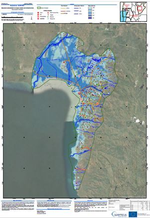
We are proud to share that our hard work has resulted in the delivery of reliable high-resolution flood hazard assessment information and exposure assessments for all critical infrastructures at risk. This includes the REGIDESO's only water catchment point, the port, and the airport.
What happened?
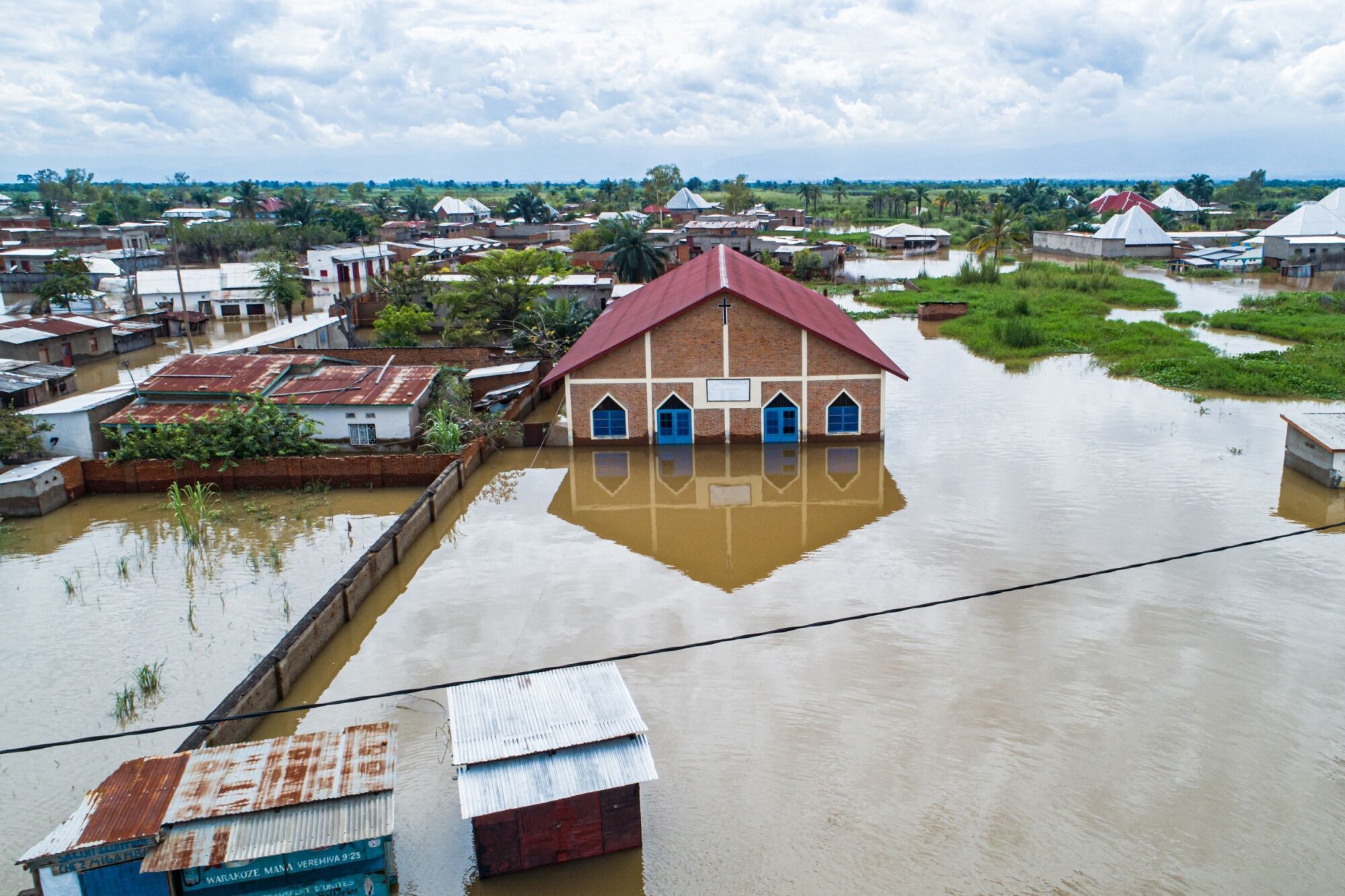
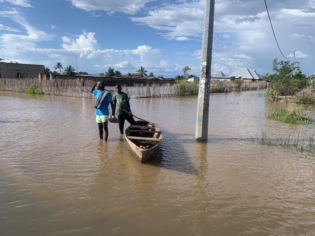
In Africa, Lake Tanganyika's water level was rising at an alarming rate, reaching levels not seen in 60 years. This caused tragic loss of life, displacement of populations, loss of agricultural production, and closure of businesses.
Our BEYONDteam was activated by the Copernicus Emergency Management Service (CEMS) Risk and Recovery Mapping (RRM) for Bujumbura, Burundi's economic capital.
With our scientific expertise and state-of-the-art Earth Observation (EO) services, we are pleased to have contributed to monitoring and managing this crisis more effectively.
Read more about our efforts here: https://riskandrecovery.emergency.copernicus.eu/EMSN190/reporting/


