|
|
|
Funded by: Minister of Municipality, Qatar
A significant part of the QGMP PH II effort is devoted to the acquisition and the subsequent analysis of new information:
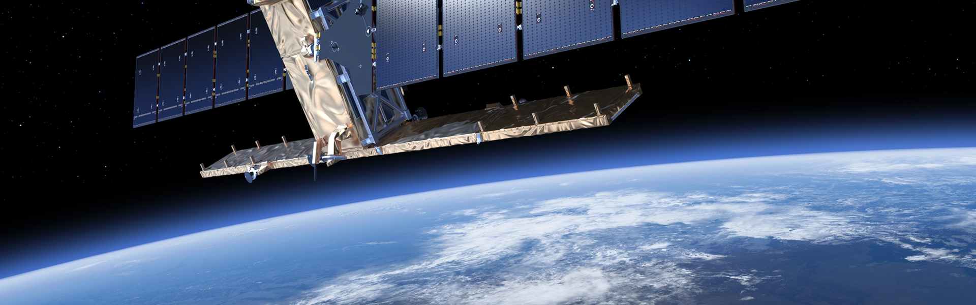
- Earth Observation data to support the development and serve as a basis of the geological map products.,
- Field-based geologic mapping for the designated areas at relevant scale,
- Subsurface drilling Investigation data that include the estimation of a full set of Geological and geotechnical engineering characteristics, as well as engineering geophysical surveys.
The newly acquired data sets are integrated with existing geodatabases and appropriate GIS layers; Cartographic datasets and base maps, Standalone or study specific hydrogeological, environmental, geophysical, remote sensing datasets/databases, Bathymetric Data, Geophysical Survey Data and Reports, etc., that will be provided by the state of Qatar.
Design and Implementation of a Comprehensive Geoscience Database Management System (CGDMS) with desktop and web components and a mobile application on android and iOS. The Geoportal will include functionalities such as 3-D view, query, analyze and map.
Taking advantage of the capacities of a newly acquired 3D Geological Modeling Software, a 3D Geologic Model will be developed through adequate processing of relevant data (drill logs, cross sections, maps, geophysical data, etc.).