Our colleague Dr. N.Stathopoulos published 2 papers in collaboration with esteemed colleagues from the University of West Attica,Harokopio University of Athens,the Agricultural University of Athens and the University of Patras.
Paper 1
Reference
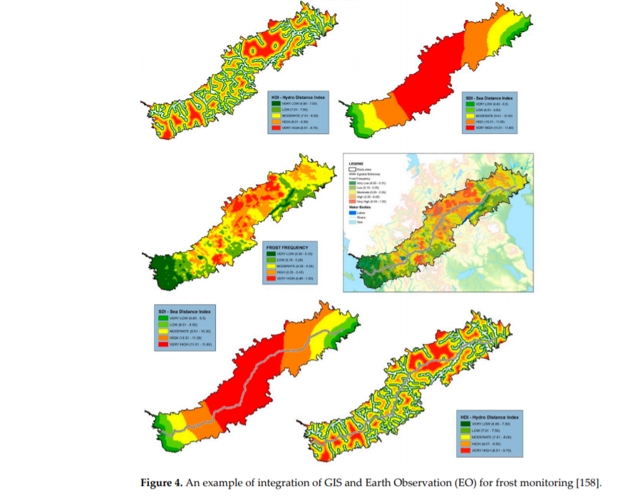
Tsatsaris, A.; Kalogeropoulos, K.; Stathopoulos, N.; Louka, P.; Tsanakas, K.; Tsesmelis, D.E.; Krassanakis, V.; Petropoulos, G.P.; Pappas, V.; Chalkias, C. Geoinformation Technologies in Support of Environmental Hazards Monitoring under Climate Change: An Extensive Review. ISPRS Int. J. Geo-Inf. 2021, 10, 94. https://doi.org/10.3390/ijgi10020094
Short note
This paper is an extensive review on environmental hazard monitoring and in particular drought, floods, soil erosion, groundwater, frost, and sea level rise. Techniques and tools (GIS and Earth Observation—EO) for observing and researching the environment are presented, along with ways to deal with each individual phenomenon.
Credits to authors
BEYOND/NOA (Dr. Stathopoulos N.) participated in this scientific publication along with esteemed colleagues from the University of West Attica (Prof. Tsatsaris A. and Assis. Prof. Krassanakis V.), Harokopio University of Athens (Dr. Kalogeropoulos K., Adjunct Lecturer Tsanakas K., Ass. Prof. Petropoulos G. and Prof. Chalkias C.), the Agricultural University of Athens (PhD Candidate Louka P. and Dr. Tsesmelis D. E.) and the University of Patras (Prof. Pappas V.). We are grateful for the outstanding cooperation and we would like to thank all the members of the authoring team for their great effort and its high-level outcome.
Paper 2
Reference
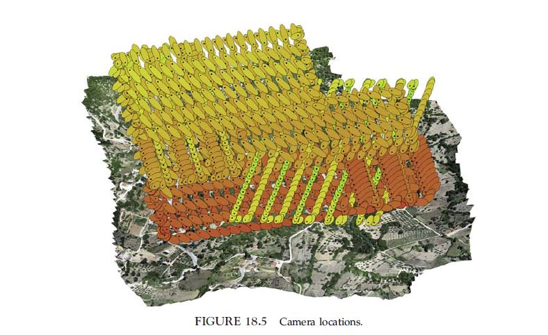
Vidalis-Kelagiannis, M., Kalogeropoulos, K., Grigorakakis, G., Stathopoulos, N., Petropoulos, G. P., Tsatsaris, A., & Chalkias, C. (2021). GNSS and UAV in archeology: high-resolution mapping in Cephalonia Island, Greece. In GPS and GNSS Technology in Geosciences (pp. 371-390). Elsevier. https://doi.org/10.1016/B978-0-12-818617-6.00008-1
Short note
This work describes a methodology for planning and best in situ practices for mapping an archeological site by using technologies such as GPS/GNSS and low-cost UAV. The methodology was applied in the archeological site of Poros in Cephalonia Island, Greece.
Credits to authors
BEYOND/NOA (Dr. Stathopoulos N.) participated in this scientific publication along with esteemed colleagues from the Harokopio University of Athens (Mr. Vidalis-Kelagiannis M., Dr. Kalogeropoulos K., Dr. Grigorakis G., Ass. Prof. Petropoulos G. and Prof. Chalkias C.) and University of West Attica (Prof. Tsatsaris A.). We are grateful for the outstanding cooperation and we would like to thank all the members of the authoring team for their great effort and its high-level outcome.