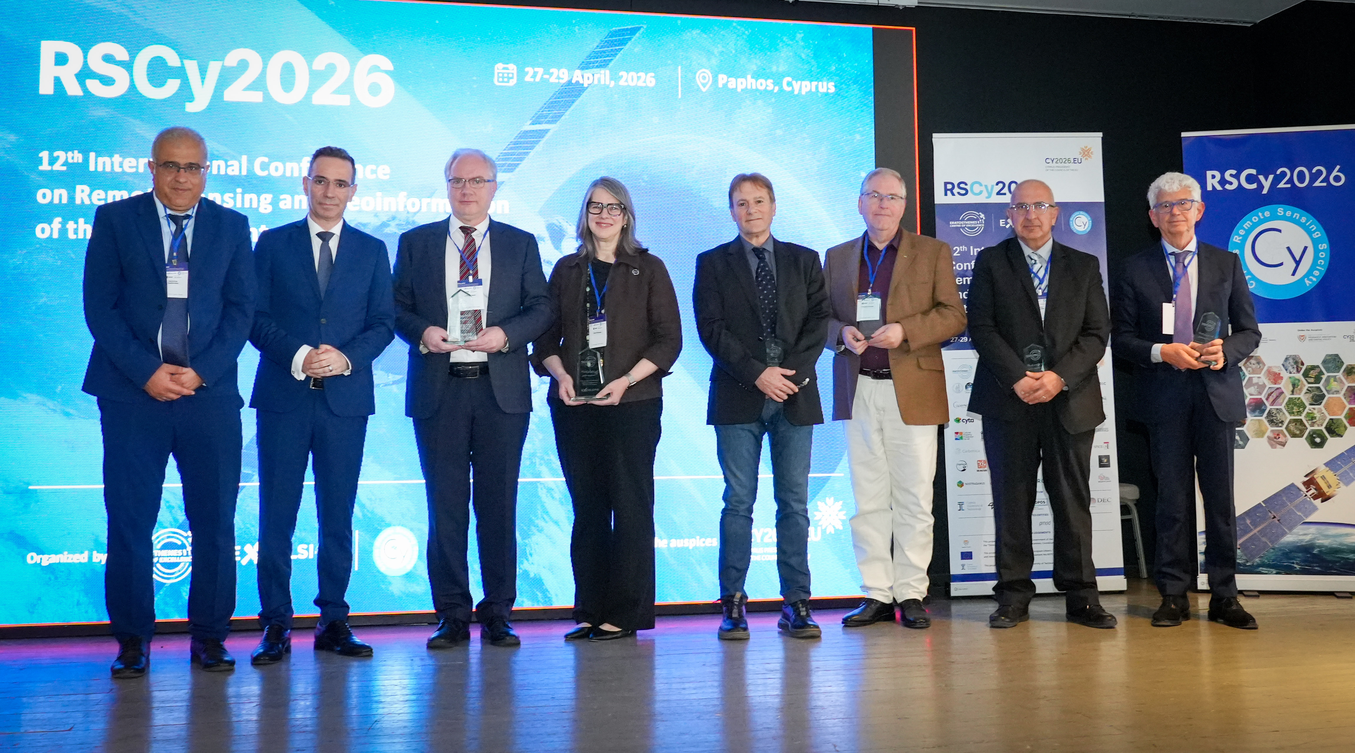
 At the Twelfth International Conference on Remote Sensing and Geoinformation of the Environment (RSCy 2026), in Paphos, Cyprus, held on 27-29 April under the auspices of H.E. the Deputy Minister of Research, Innovation and Digital Policy, leading scientists and policymakers gathered to explore emerging trends and the evolving landscape of the Earth Observation (EO) sector. Among the contributors, Dr. Haris Kontoes, Research Director at the National Observatory of Athens, Head of the Operational Unit BEYOND Centre whose dual presentations outlined the decisive shift from EO towards “Earth Intelligence”.
EO towards Earth Intelligence - Unfolding the e-genesis vision at the RSCy 2026
- Details
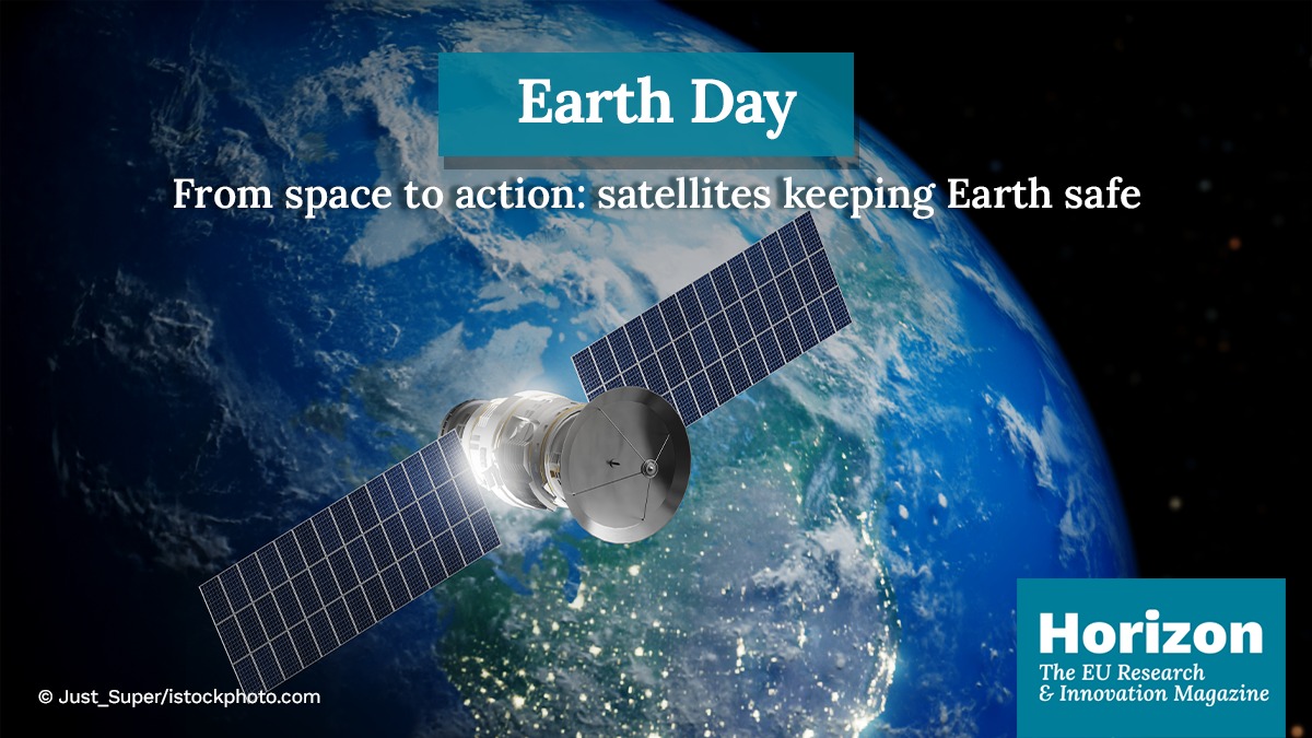
22 April 2026 - Earth Day: From satellites to society – A mission possible!
- Details
At the BEYOND Centre of IAASARS/NOA, our research teams transform Earth observation data into actionable insights for a more resilient future.
CONOPS powered by EDGE and BEYOND/NOA joins Destination Earth (DestinE): Turning Earth Observation into Action Against Mosquito-Borne Diseases
- Details
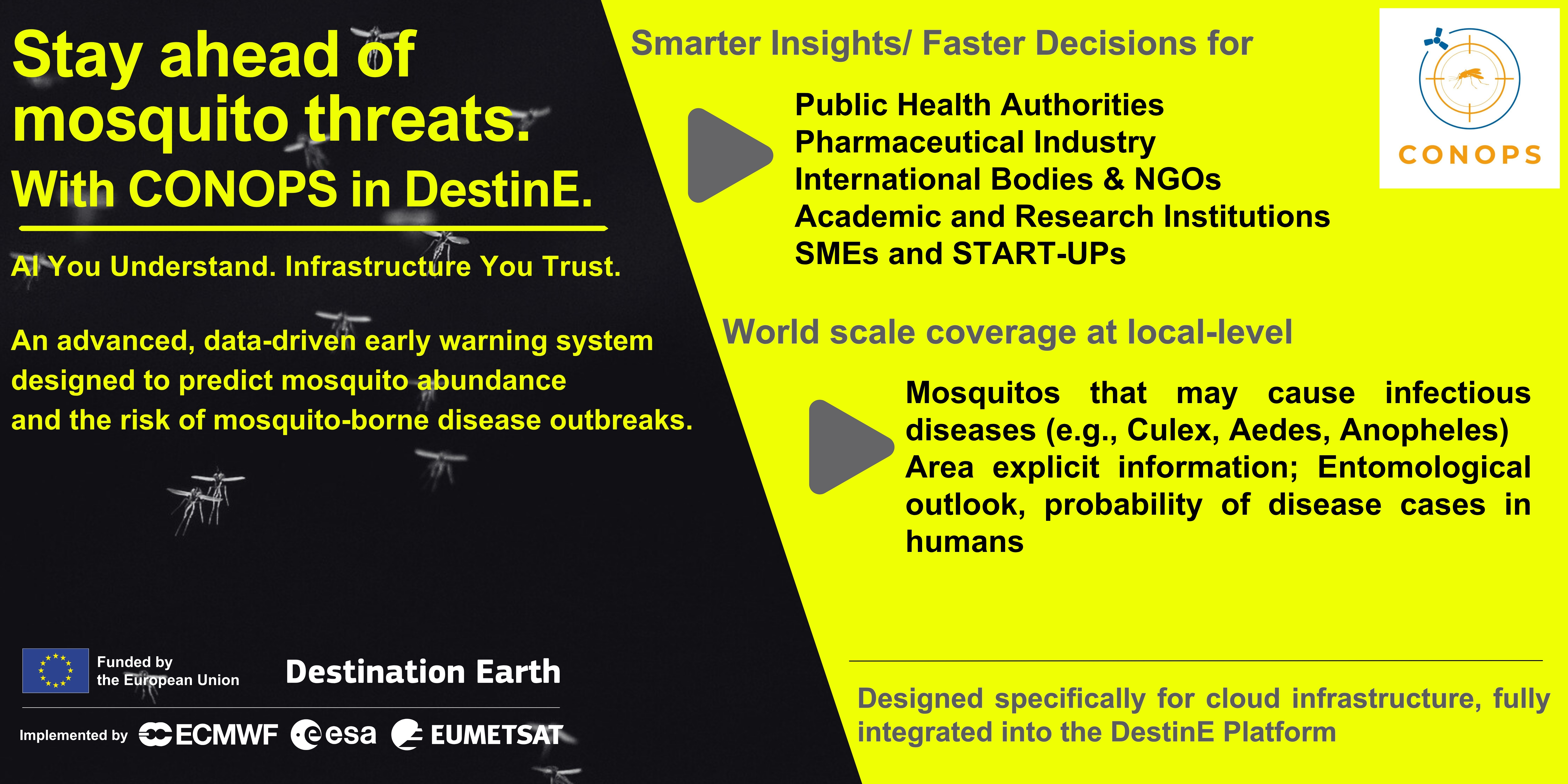
Mosquito-borne diseases are on the rise, driven by climate variability and environmental change. Addressing this growing challenge requires smarter, data-driven tools. The CONOPS, an advanced application, now available through the DestinE platform, delivers high-resolution predictions of mosquito abundance and the associated risk of disease outbreaks—helping decision-makers act earlier and more effectively. Developed by EDGE in Earth Observation Sciences and BEYOND Centre IAASARS/ NOA, CONOPS integrates 2️⃣ key models:
Υπηρεσία geObservatory: Δορυφορική συμβολομετρική απεικόνιση του πεδίου εδαφικής παραμόρφωσης από τον σεισμό στην Νεβάδα, 14/4/2026
- Details
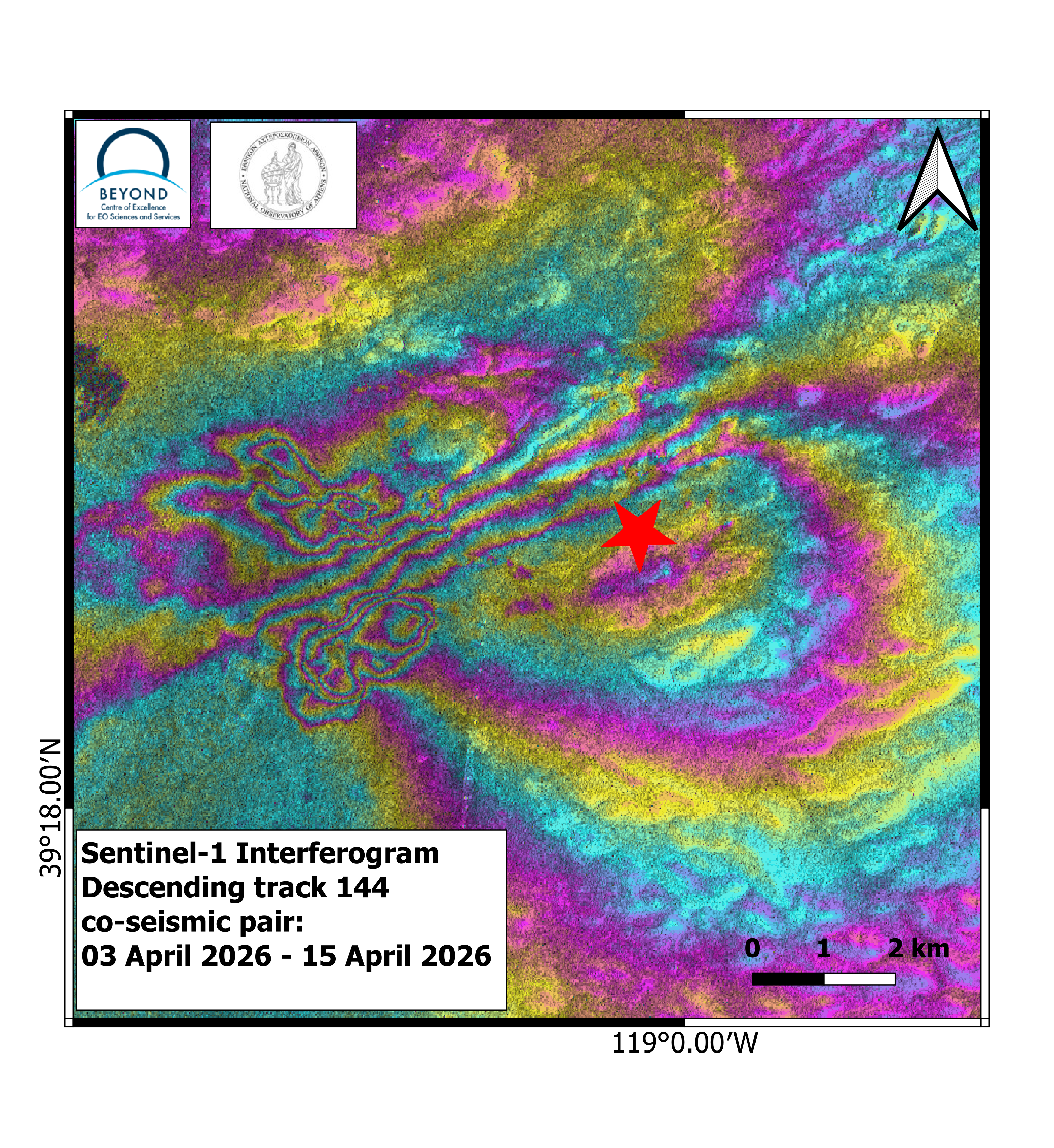
Η υπηρεσία geObservatory της Επιχειρησιακής Μονάδας BEYOND του Εθνικού Αστεροσκοπείου Αθηνών, ενεργοποιήθηκε και κατέγραψε την εδαφική παραμόρφωση, που προκλήθηκε από τον σεισμό στην Νεβάδα, Μ5.7, στις 14 Απριλίου 2026, στις 01:29:15 UTC.
Το έργο E-DREAM με συντονιστή το BEYOND, αναδεικνύεται ως Copernicus demonstrator στην Πρωτοβουλία Διαμεσογειακής Ανανεώσιμης Ενέργειας της Ευρωπαϊκής Επιτροπής
- Details
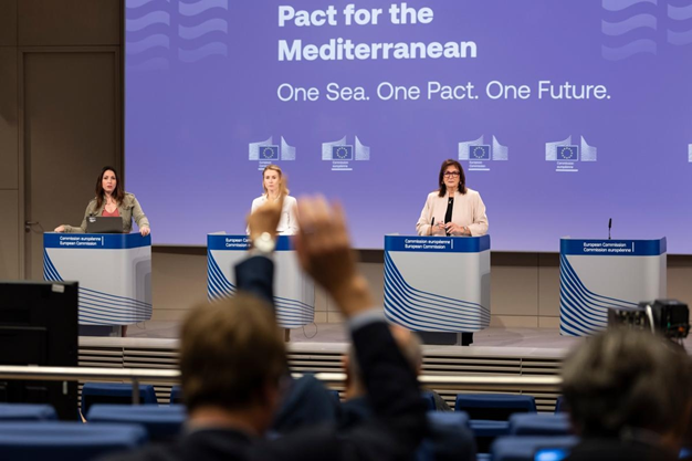
Το έργο E-DREAM με συντονιστή εταίρο το BEYOND του ΙΑΑΔΕΤ/ΕΑΑ ξεχώρισε ως Copernicus demonstrator στο πλαίσιο της σημαντικής πρωτοβουλίας, “Trans-Mediterranean Renewable Energy and Clean Tech Initiative (T-MED)” . Η πρωτοβουλία που υποστηρίζεται από την Ευρωπαϊκή Επιτροπή, στο πλαίσιο της στρατηγικής του Pact for the Mediterranean, στοχεύει στη στενότερη συνεργασία Ευρώπης – Νότιας Μεσογείου στον τομέα των ανανεώσιμων πηγών ενέργειας και των «καθαρών τεχνολογιών».
Νέες τεχνολογίες για την πρόγνωση και παρακολούθηση δασικών πυρκαγιών παρουσίασε το BEYOND στην Περιφέρεια Αττικής
- Details
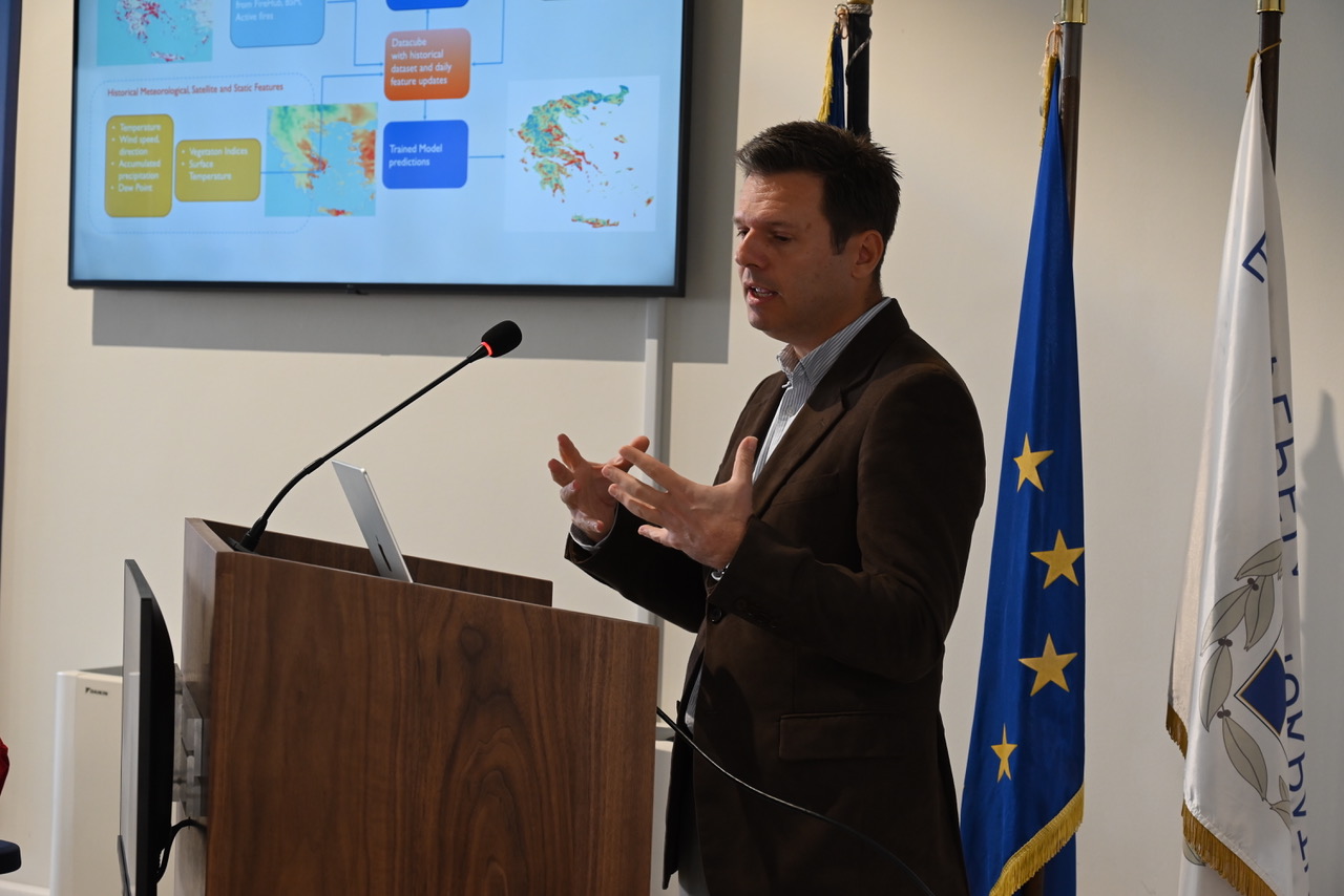
Καινοτόμες υπηρεσίες σε σχεδόν πραγματικό χρόνο, βασισμένες σε AI, δορυφορικά δεδομένα και αριθμητικά μοντέλα, ενισχύουν την επιχειρησιακή ετοιμότητα της χώρας ενόψει της αντιπυρικής περιόδου 2026.
We are HIRING! Communication and Dissemination Specialist
- Details

The Operational Unit BEYOND Centre of Earth Observation Research and Satellite Remote Sensing of the National Observatory of Athens is seeking to hire a Communication and Dissemination Specialist with proven experience in communication of EU funded projects to join our team in Athens, Greece.
Συμμετοχή του Εθνικού Αστεροσκοπείου Αθηνών (ΕΑΑ) στη συνεδρίαση της Υποεπιτροπής Υδατικών Πόρων της Βουλής με θέμα ημερήσιας διάταξης: «Πρόληψη και αντιμετώπιση πλημμυρικών φαινομένων: Οικοδομώντας την ανθεκτικότητα», 26/2/2026
- Details
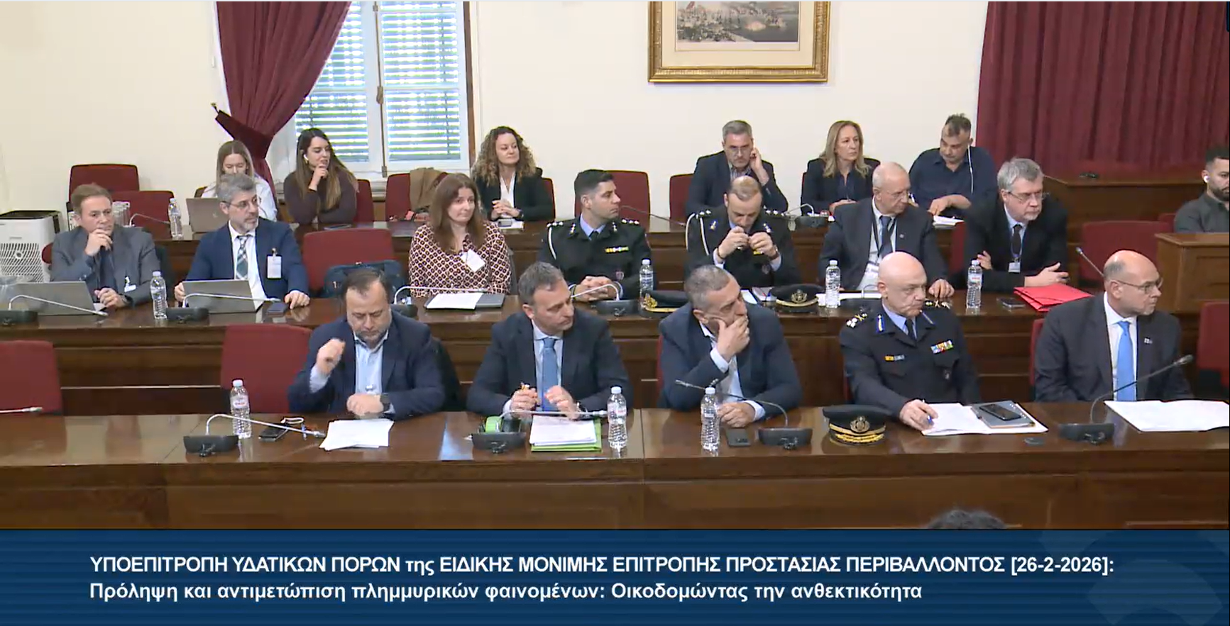
Στο πλαίσιο της συμμετοχής του Εθνικού Αστεροσκοπείου Αθηνών στη συνεδρίαση της Υποεπιτροπής Υδατικών Πόρων της Ειδικής Μόνιμης Επιτροπής Προστασίας Περιβάλλοντος της Βουλής, ο Δρ Ευάγγελος Γερασόπουλος, Αντιπρόεδρος του Δ.Σ. του ΕΑΑ και Διευθυντής του ΙΕΠΒΑ, καθώς και ο Δρ Χαράλαμπος (Χάρης) Κοντοές, Διευθυντής Ερευνών του ΕΑΑ και Επιστημονικός Υπεύθυνος της Επιχειρησιακής Μονάδας BEYOND εκπροσώπησαν τον φορέα και ενημέρωσαν τα μέλη της Υποεπιτροπής σχετικά με το θέμα της ημερήσιας διάταξης: «Πρόληψη και αντιμετώπιση πλημμυρικών φαινομένων: Οικοδομώντας την ανθεκτικότητα», την Πέμπτη, 26 Φεβρουαρίου 2026.
We are HIRING! SOLAR ENERGY EXPERT
- Details
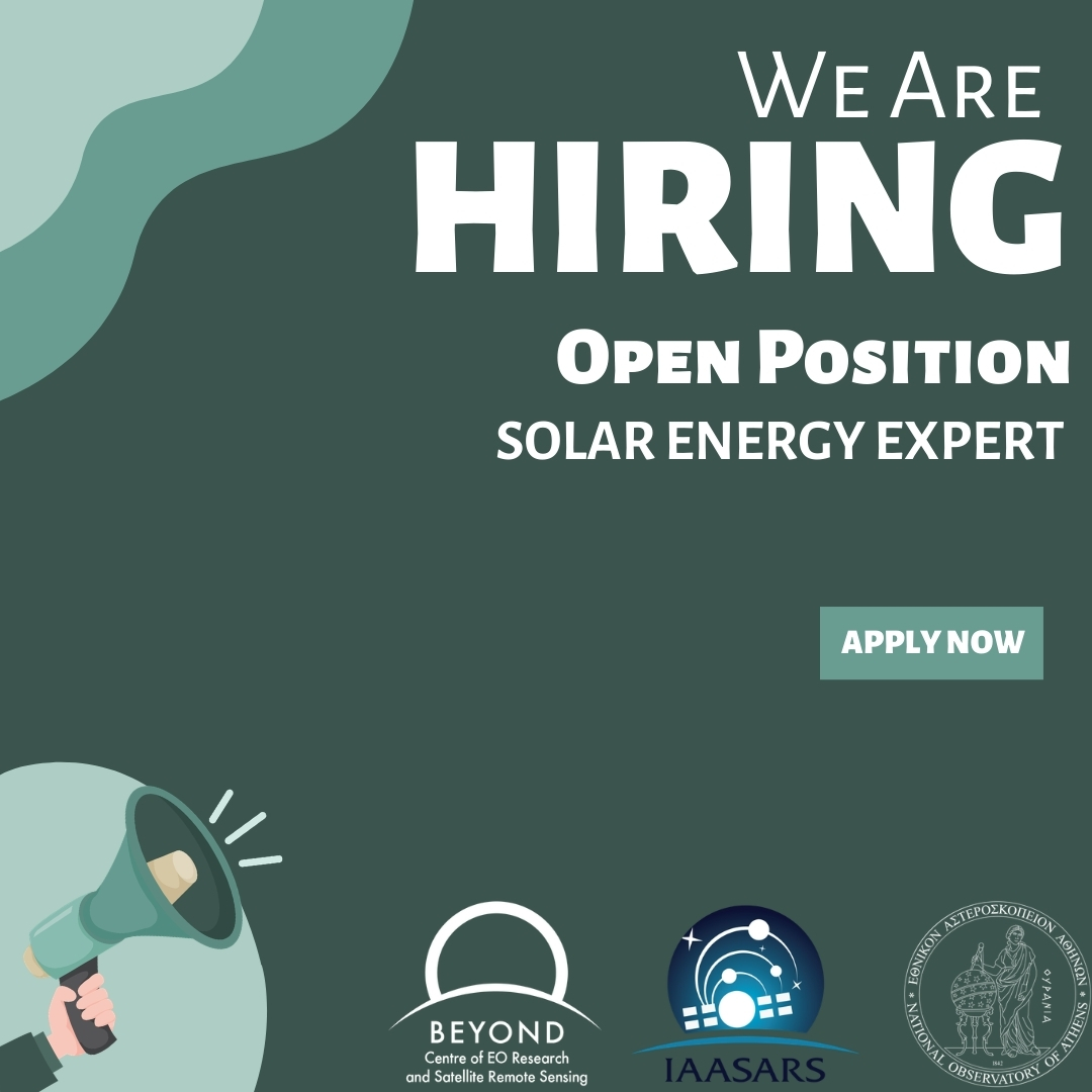
The Operational Unit BEYOND Center for Earth Observation Research and Satellite Remote Sensing at the National Observatory of Athens is seeking to hire a highly skilled and motivated Expert on Solar Energy to join our team, to support the SolarHUB team across multiple project activities in all phases from proposal preparation to implementation.
Παρατήρηση της Γης: Η επιστήμη που βλέπει τη γη και μπορεί να σώσει ζωές. Ο Χάρης Κοντοές Διευθυντής Ερευνών του ΕΑΑ και Επιστημονικός Υπεύθυνος της Επιχειρησιακής Μονάδας BEYOND στο ραδιόφωνο του Πρακτορείου 104.9 FM
- Details
Η διαστημική τεχνολογία και η Παρατήρηση της Γης δεν αποτελεί «μια επιστήμη για λίγους», αλλά ένα πεδίο με άμεσο αντίκτυπο στην κοινωνία και στην καθημερινότητά μας. Αυτό ήταν ένα από τα ενδιαφέροντα σημεία - μεταξύ άλλων- της ραδιοφωνικής συζήτησης του Χάρη Κοντοέ, Διευθυντή Ερευνών του ΕΑΑ και Επιστημονικού Υπευθύνου της Επιχειρησιακής Μονάδας BEYOND, με τον δημοσιογράφο Σωτήρη Κυριακίδη, στην εκπομπή «Ειδικές Αποστολές» του Πρακτορείου 104.9 FM.