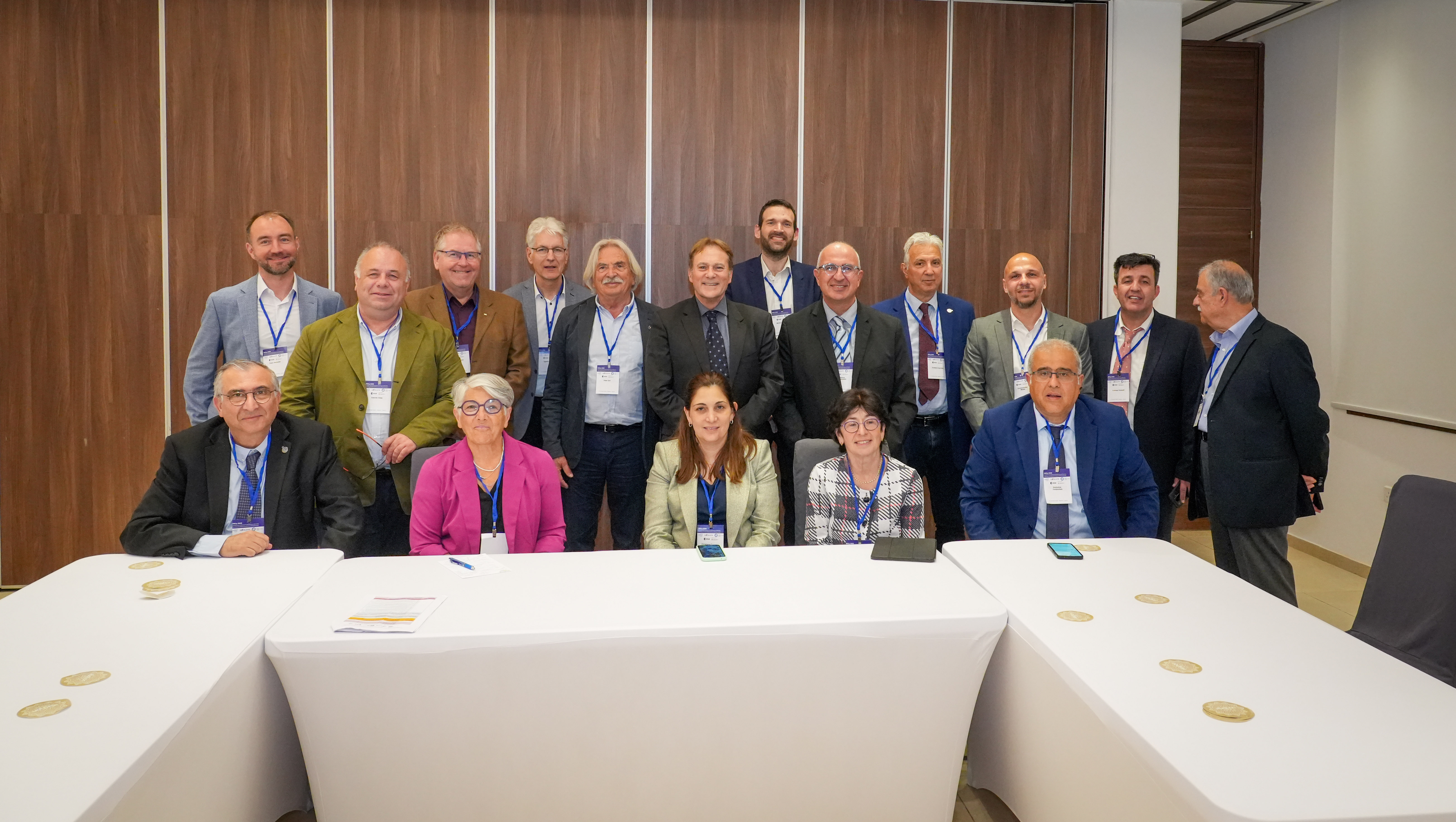
 At the Twelfth International Conference on Remote Sensing and Geoinformation of the Environment (RSCy 2026), in Paphos, Cyprus, held on 27-29 April under the auspices of H.E. the Deputy Minister of Research, Innovation and Digital Policy, leading scientists and policymakers gathered to explore emerging trends and the evolving landscape of the Earth Observation (EO) sector. Among the contributors, Dr. Haris Kontoes, Research Director at the National Observatory of Athens, Head of the Operational Unit BEYOND Centre whose dual presentations outlined the decisive shift from EO towards “Earth Intelligence”.
In his plenary keynote presentation, Dr. Kontoes introduced the EC awarded e-genesis project coordinated by the BEYOND Centre / National Observatory of Athens, illustrating a transformation already underway within the European ecosystem: the integration of EO with artificial intelligence—including generative AI—and emerging digital technologies, to deliver actionable, policy-ready insights for strategic decision-making.
He also presented the successful development and establishment of the governance scheme and structural framework of the EuroGEO community through the EuroGEO Secretariat Project (EuroGEOSec) and underlined the fact that the community is now entering a new phase focused on the operationalization of Earth Intelligence. Within this context, he showcased e-genesis, the new European project set to commence on 1 November 2026, by bringing together 21 partners and more than 30 end users, targeting three critical domains: (i) biodiversity and ecosystem resilience, (ii) water resource foresight and sustainability, and (iii) the urban–energy–health nexus under climate extremes. Funded under Horizon Europe with €7.5 million, e-genesis will build on Europe’s long-standing investment in EO—such as the flagship e-shape initiative—and will support the GEO post-2025 priorities.
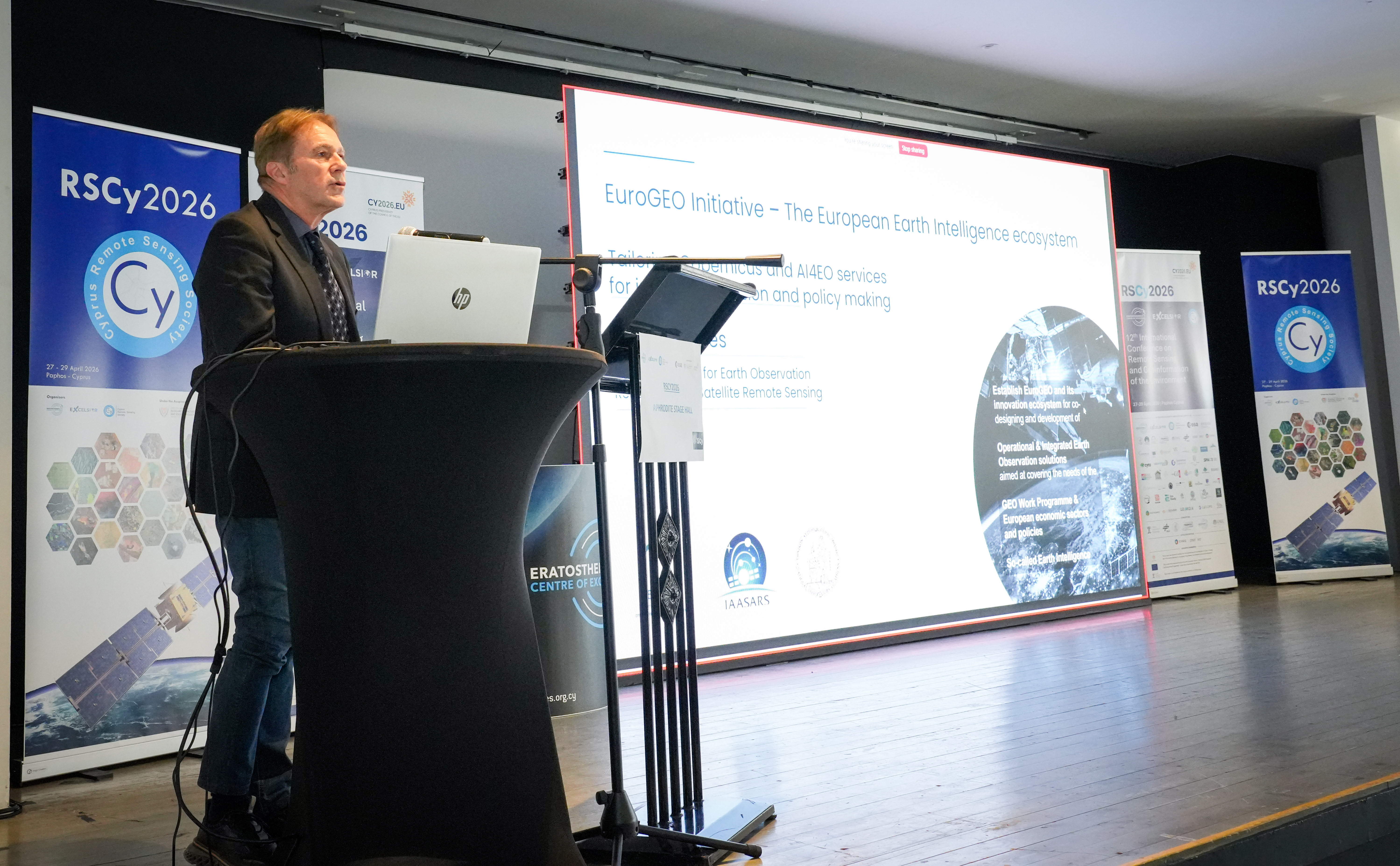
By aligning with key EU policy frameworks (including the Biodiversity Strategy 2030, Water Resilience Strategy, and Zero Pollution Action Plan), as well as the Copernicus Programme under the EuroGEO umbrella, e-genesis aspires to accelerate the green and digital transition. It will move toward an operational model where data is continuously translated into real-world decision-support tools. The project plans to establish a continuous feedback mechanism connecting policymakers, scientists, innovators, and end users, ensuring that Earth Intelligence outcomes are both scientifically robust and directly applicable to decision-making processes.
According to Dr. Kontoes:
“Integrated Earth Intelligence into e-genesis project will transform EO and digital technologies into user-driven insights that directly support policy implementation and strategic decisions.”
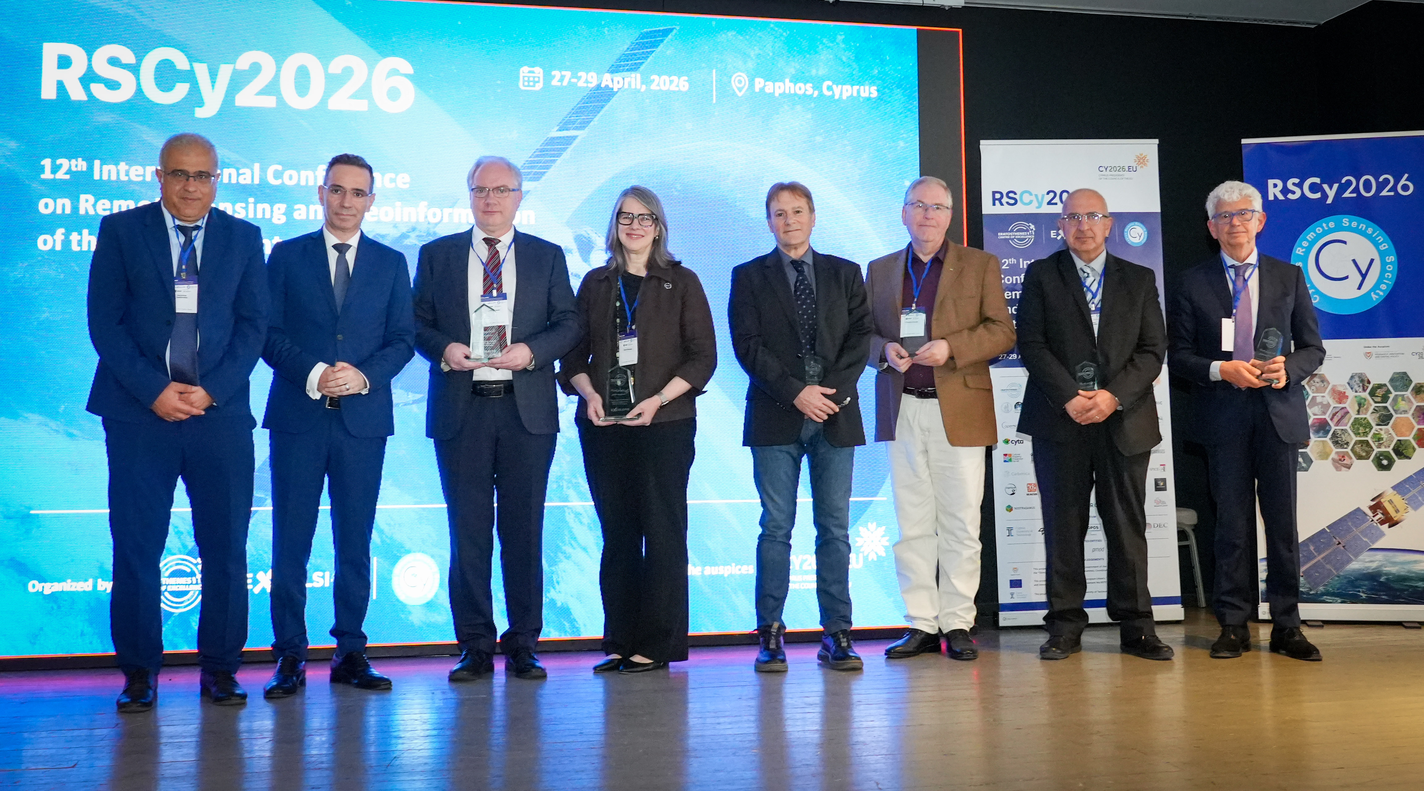
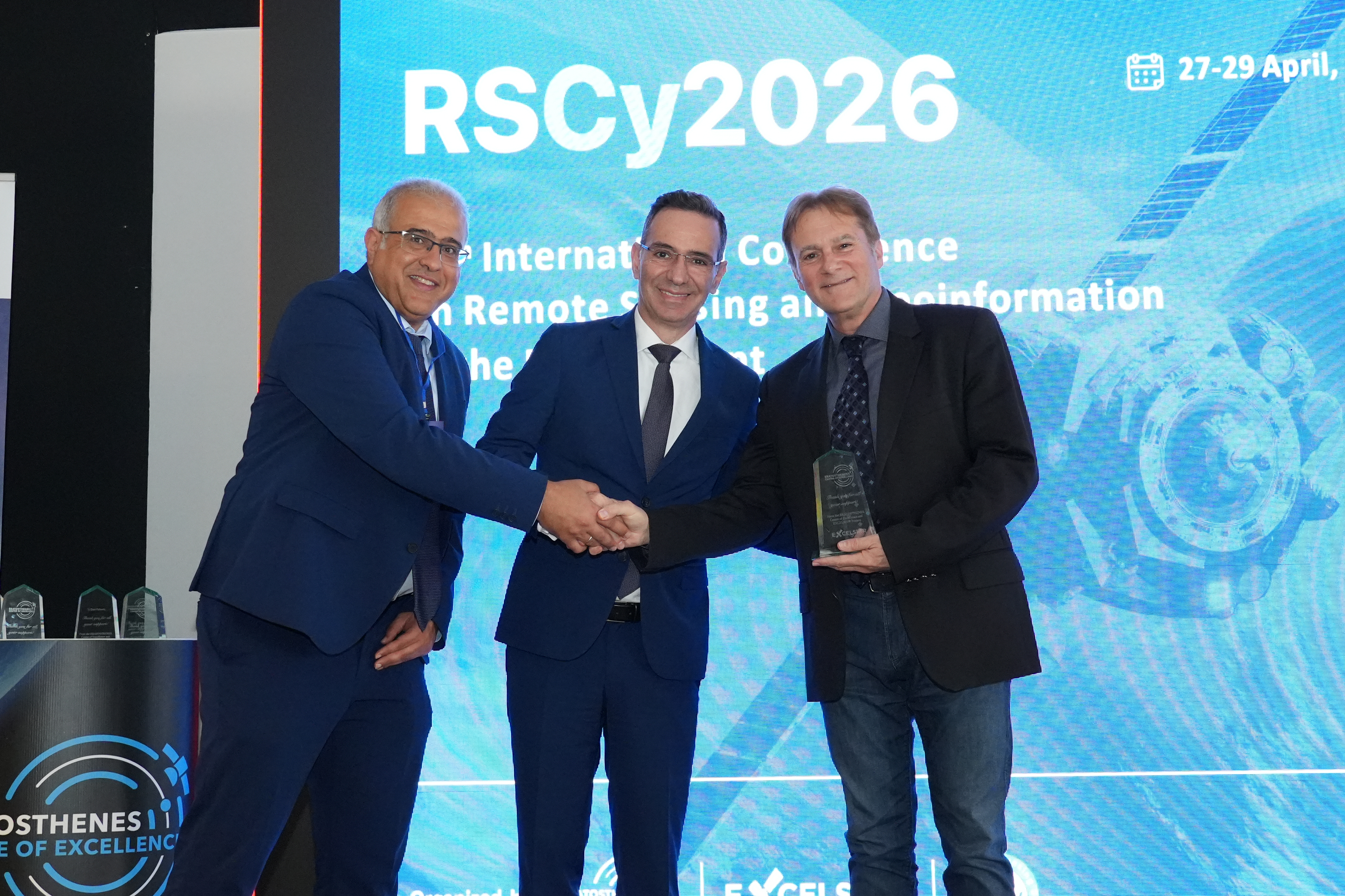
Professor Diofantos Hadjimitsis, Managing Director of the ERATOSTHENES Centre of Excellence, and Dr. Nicodemos Damianou, Deputy Minister of Research, Innovation and Digital Policy presented a recognition award to Dr. Haris Kontoes, in acknowledgement of the valuable contribution of BEYOND/NOA as a consortium partner of the EXCELSIOR H2020 Teaming Project and its long-standing collaboration with the ERATOSTHENES Centre of Excellence.
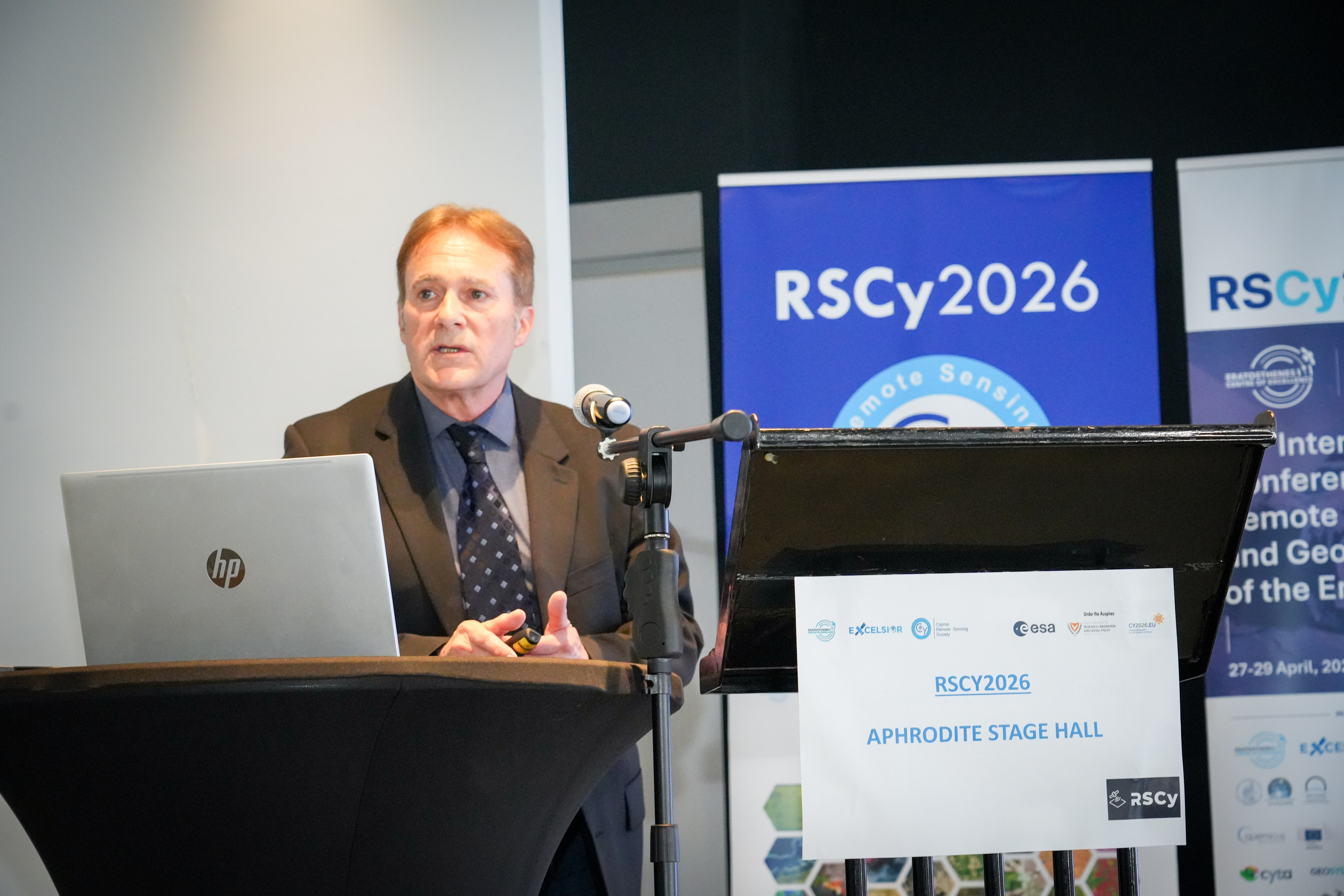
In his second presentation during the conference at the 7th Annual Hybrid Excelsior Workshop entitled “Earth Observation for Climate Change and Security Applications and Services in the Eastern Mediterranean, Middle East, and North Africa (EMMENA),” Dr. Kontoes focused on real-world applications under the theme: “Towards a green and digital era – Protecting sustainable development and societal well-being.”
He provided an overview of the operational activities of BEYOND highlighting its role in transforming EO science into impactful services. By processing a few thousands of satellite images daily, and delivering near real-time situational awareness services, BEYOND supports crisis management and sustainable development across critical sectors as:
- Drought Monitoring: Satellite analysis of the Water Reservoirs in Greece that reveal the significant decline in water levels since 2023, with 2025 conditions reaching historically the lowest levels due to prolonged drought and thermal stress.
- Wildfire Management: Real-time monitoring and timely risk assessments, providing updates every five minutes of the operational fire awareness picture, and enabling early detection and rapid response. AI-driven models that predict daily fire risk at national level with high accuracy, with more than the 79% of burned areas previously identified as high-risk zones.
- Flood Early Warning Systems: Operational platforms, integrating meteorological forecasts and real-time sensor data to track flood evolution from onset to peak, supporting emergency response planning.
- Public Health Applications: EO-based models, forecasting mosquito population dynamics, supporting early warning and mitigation of disease outbreaks.
- Renewable Energy Forecasting: Systems such as SolarHUB, providing high-resolution forecasts of solar and wind energy potential, supporting both policymakers and energy providers.
To date, BEYOND services support more than 40 civil protection authorities across Europe, Latin America, Africa, and Asia; over 22 governmental institutions in EU and non-EU countries; 20 regional administrations; and more than 11,000 municipalities. These services span disaster risk reduction, public health, ecosystem sustainability, food security, renewable energy, and water resource management, reaching over 40 million citizens globally.
A recurring theme across both of his presentations was the importance of co-design, bringing together policymakers, scientists, industry, and end users to ensure that technological innovation translates into tangible societal value. Within this context, Earth Intelligence emerges as a key enabler—supporting sectors across EO, from climate resilience to economic planning.
More info about the Conference: https://rscy2026.com/agenda-workshops/