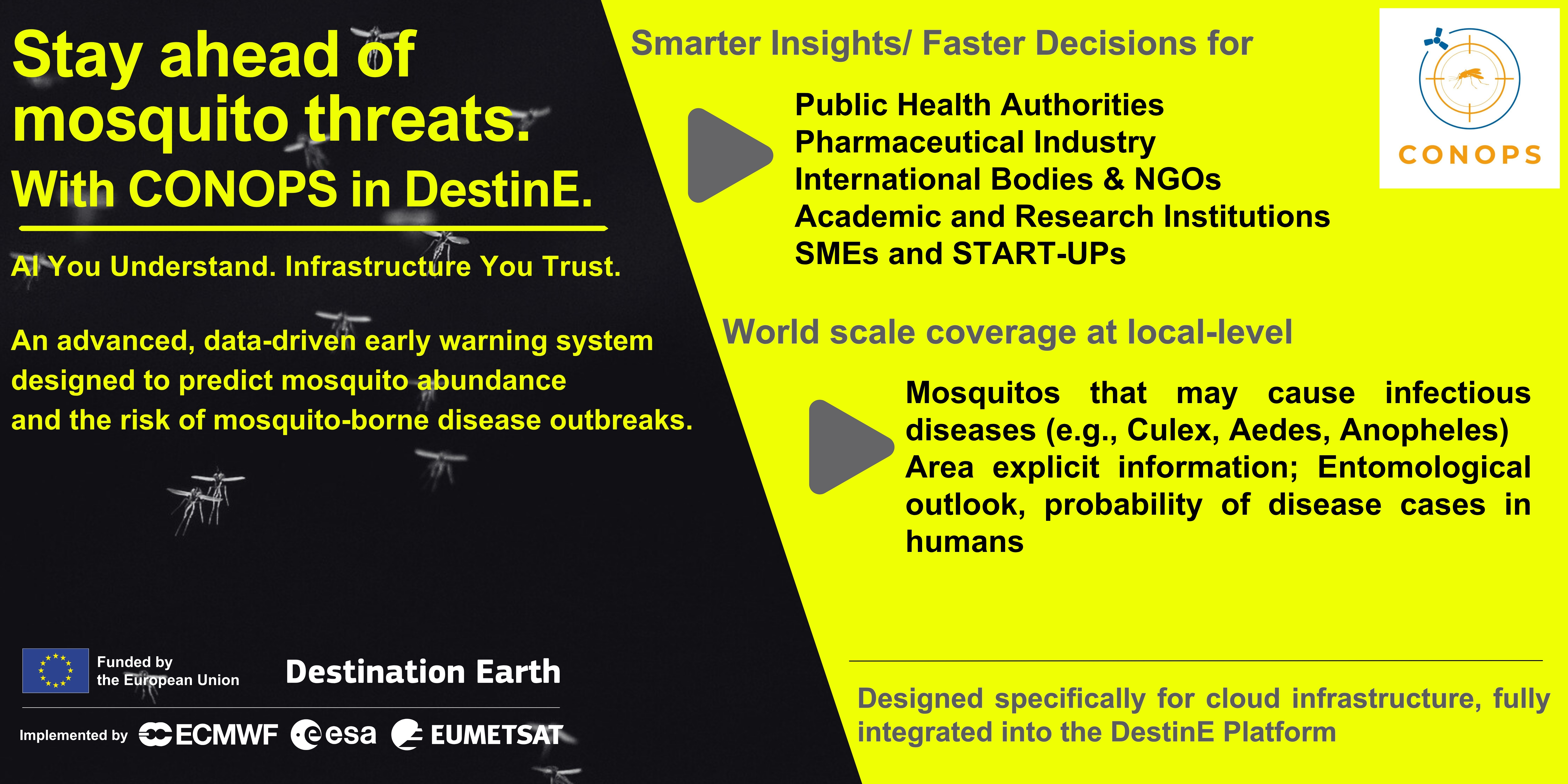
Mosquito-borne diseases are on the rise, driven by climate variability and environmental change. Addressing this growing challenge requires smarter, data-driven tools. The CONOPS, an advanced application, now available through the DestinE platform, delivers high-resolution predictions of mosquito abundance and the associated risk of disease outbreaks—helping decision-makers act earlier and more effectively. Developed by EDGE in Earth Observation Sciences and BEYOND Centre IAASARS/ NOA, CONOPS integrates 2️⃣ key models:
🔹 An entomological model (MAMOTH) predicting mosquito populations
🔹 An epidemiological model (DVI) assessing human outbreak risk
By combining satellite-based Earth Observation data, census information, and historical records, CONOPS provides:
✔️ Localized insights at 2x2 km resolution
✔️ Flexible forecasts (monthly or custom periods)
✔️ Coverage during peak mosquito season (May–December)
✔️ Transparent results with feature importance analysis
With a sustainable, user-oriented approach and a freemium access model, CONOPS joins the DestinE ecosystem, making advanced EO applications more accessible than ever.
Users can access predictions across EU regions or request tailored solutions worldwide—supporting prevention, preparedness, and response strategies.
CONOPS builds on EYWA, an awarded early warning system recognized by the European Innovation Council for its pioneering contribution to epidemic forecasting.
Visit CONOPS via DestinE platform: https://platform.destine.eu/services/service/conops/